The sunny skies may invite you outside, but the National Weather Service in Sacramento urges caution as we roll into the new week. According to their latest area forecast discussion, the Sacramento region can expect "dry weather prevails," with daytime highs reaching the 50s to 60s in the Valley and foothills, and 30s to 50s in the mountains. Overnight, prepare for some chill, with low temperatures in the 30s expected for the next several days in the Valley.
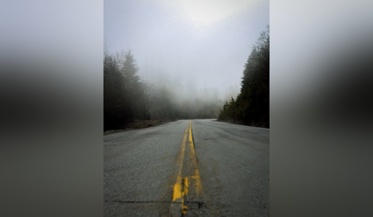
For drivers waking up early, the morning might bring some challenges. Fog development has been noted, particularly in the southern Sacramento and northern San Joaquin valleys. With visibilities potentially dropping to 1/2 mile or less, driving conditions could get dicey. As the National Weather Service points out, there's a "45-65% probability of visibilities of 1/2 mile or less." Motorists heading out in the mornings should be vigilant for patchy fog and frost and are advised to drive slowly and exercise caution.
Come tomorrow, it's an upbeat note for wind enthusiasts and a heads-up for the rest. Gusty north-to-east winds are expected, with 40 MPH gusts possible along the western edges of Interstate 5 in the Valley, and even stronger winds—up to 50 MPH—projected for the mountainous areas. These gusty conditions should subside by Tuesday, but a persistent "occasionally breezy downslope flow" will continue during the evenings and early mornings for the remainder of the week.
Looking ahead, the weather remains steadfast in its dryness. The National Weather Service forecast highlights persisting upper-level ridging that will keep conditions dry and temperatures above average. However, next weekend may see a dip to normal temps as upper-level troughing takes root over the Western US. And while the forecast remains mostly clear, the mountains might catch a break with light shower chances predicted for Friday night into Saturday. And again, another round of those gusty north to east winds may just sweep through next weekend.


