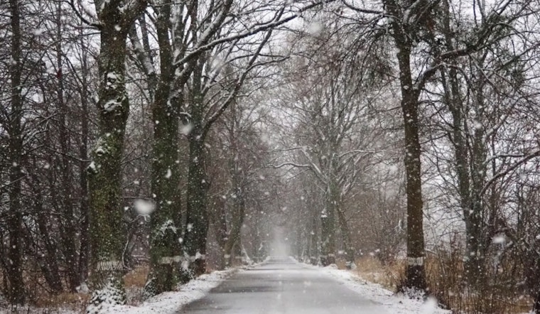
Residents of Washington D.C. and the surrounding areas are gearing up for a mix of wintry weather as the National Weather Service has issued multiple advisories for the region. According to the forecast, today's weather is set to bring rain showers that may turn to snow showers by the evening, with a 70% chance of precipitation and only light accumulations expected.
A Winter Weather Advisory is in place for parts of the Baltimore area and Northeast Maryland from 1 PM to 7 PM, targeting commuters today who could see snow showers or squalls impacting roads. While driving, especially near and north of Washington, D.C., caution is advised due to the potential for challenging conditions during the afternoon and evening commute.
The outlook through the weekend into next week only intensifies, with a notable winter storm threat looming over Sunday and Monday anticipated to bring a wintry mix, as per the NWS reports. This system is expected to create significant travel delays and possible closures, adding a layer of complexity to early-week routines.
Adding to the hazards, a Gale Warning is coming into effect for the central parts of the Chesapeake Bay and Lower Tidal Potomac River tonight. While the NWS' Hazardous Weather Outlook doesn't call for spotter activation currently, it emphasizes the potential for severe weather conditions that could disrupt the weekend peace for unprepared residents.


