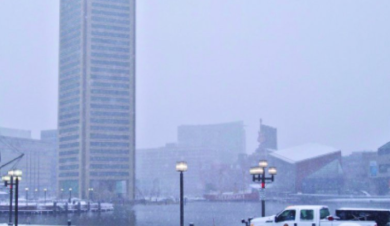
Based on the latest weather update, Baltimore residents can rightly expect a brief reprieve from precipitation until later today. According to the National Weather Service (NWS) Baltimore MD/Washington DC, a dry spell will hold over the region until the next low-pressure system creeps in and starts up the snow machine again, especially near and to the west of the Blue Ridge Mountains. Anticipate a cold front sweeping by Thursday afternoon, promising to turn things gusty and decidedly cooler. Come Friday, high pressure should assert itself before the weekend introduces new chances for wet weather.
Earlier wintry warnings are being phased out as snowfall tapers, though some alerts remain, particularly in Charlottesville, where freezing drizzle could persist into the day. "May have to put them into a new Winter Weather Advisory for the first half of today before temps rise above freezing," advises the National Weather Service. Tonight's forecast includes light or freezing rain, with higher elevation areas more susceptible to icing. An assurance of warmer air overnight is expected to bring us above freezing even in the mountains. However, this juxtaposition might spawn dense fog patches, reducing visibility to one mile or less.
Thursday's weather narrative shifts with rain showers making an exit and temperatures climbing into the 50s. It's predicted to be a breezy day, with wind gusts reaching 30 mph. "It will turn milder with temperatures in the 50s and become breezy/windy during the afternoon after frontal passage," the National Weather Service report confirms. The ensuing Thursday night into Friday brings a chill as high pressure takes the helm, setting the stage for cooler conditions.
The weekend's long-term forecast is soggy, with the arrival of a rain-snow medley on Saturday and Sunday. While Saturday's highs will hover from the 40s to low 50s, a concern looms over potential flooding due to anticipated rainfall of around 1-1.25" atop recent snow accumulations and possible rapid melting. In the wake of the weekend system, strong northwest winds are expected Sunday into Monday, likely necessitating wind advisories or warnings for heightened gusts.
For those navigating the skies, a combination of light rain and possibly freezing rain at airports like CHO and MRB today through tonight is anticipated to create very low, not life-threatening flight conditions. Ceilings are expected to lift to marginal levels on Thursday, with rain tapering off. However, aviation challenges are poised to persist over the weekend as the next system moves in, carrying a likelihood of sub-VFR conditions late into Sunday.
Maryland's mariners should prepare for Small Craft Advisory conditions starting Thursday afternoon and extending through the night. According to the latest forecast, these advisories will be issued within two hours. By Saturday night, ahead of an oncoming cold front, southerly winds are expected to pick up, transitioning to the northwestern post-front and prompting further marine advisories.


