The Denver area is in for a weather week starting today, with the National Weather Service issuing a winter weather advisory for the northern mountains until 7 a.m. this morning due to snow that could impact morning travel. The advisory comes as the latest series of systems bring chances of snow and a plunge in temperatures well into the upcoming week, according to the National Weather Service.
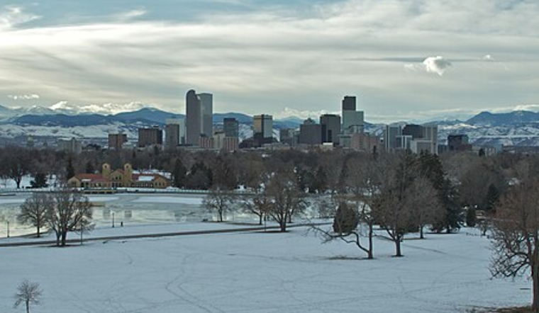
As of now, Denver sits under mostly cloudy skies with a chilly 21°F and a wind chill making it feel more like 11°F, snow accumulation throughout the day is expected to be less than a half inch, though conditions will change tonight with a 30 percent chance of additional snowfall, the local outlook includes a significant temperature drop by Monday night, that's when the arctic chill is set to grip the plains and foothills, ushering in highs that could struggle to surpass the teens by Wednesday and overnight lows dipping into single digits.
The NWS detailed forecast for Denver today predicts a 40 percent chance of snow before 8 a.m., transitioning to mostly sunny skies and a high near 44 by the afternoon; while tonight, snow chances slightly diminish but the prospect of flurries remain until around 11 p.m., tonight's temperature is expected to hover around 21 degrees with north northwest winds between 5 to 8 mph and little to no snow accumulation, this is a marked change from the earlier light snow across the plains that should taper off as we head into the next morning.
Looking ahead to Sunday through Friday, Denver is set to experience an active pattern of mainly light snowfall events that carry the potential for slick and hazardous travel conditions, residents should prepare for an arctic cold front arriving Monday that could see temperatures plunge and hold through the middle of the week, Snow will redevelop tonight in the mountains with a chance of light snow across the plains, one round of light snow is expected late Monday which should then taper off by Tuesday morning, the NWS warns, the next round of light snow is then anticipated Tuesday night into Wednesday morning, these systems could see more significant snow accumulations for mountain areas toward the end of the coming week, while plains areas face moderating temperatures and sporadic chances of snowfall.


