The latest weather update from the National Weather Service (NWS) indicates calm, slightly muggy conditions for most Hawaiian islands. The state is currently influenced by a stationary front to the northwest, which is causing southerly winds across the western half and southeasterly winds across the eastern half. The forecast does not suggest significant rainfall this weekend, with the highest chances for showers expected over leeward areas and at higher elevations.
Despite the presence of the front, dry and stable conditions are expected to keep rainfall to a minimum. The weak pressure gradient, a reflection of the high pressure situated 1,400 miles northeast of the islands, will allow for more localized breeze activity, particularly in the afternoons. As per the NWS weather discussion, "with little change in the synoptic over the Central Pacific, this trend will continue through tomorrow."
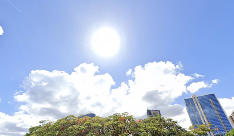
The calm weather, however, brings with it higher dew points in the mid to upper 60s, making for warm and muggy conditions across the state. Venturing into the weekend, the situation is expected to remain largely unchanged, with only minor adjustments in wind behavior as fronts pass north of the state. "This general southern wind pattern will remain in place through Sunday," the NWS report further elaborated. Rainfall accumulation is anticipated to be minimal due to the stabilizing effects of mid-level ridging and a relatively dry air mass.
Aviation conditions are anticipated to stay largely unaffected, with light to moderate southerly winds and predominantly VFR (Visual Flight Rules) conditions, despite the ongoing volcanic activity at Kilauea. "Hazy conds should continue through at least tomorrow due to Kilauea volcanic activity and southerly winds," the NWS report highlighted, signaling the continued presence of vog impacting visibility for those taking to the skies.
Mariners are being cautioned with a High Surf Warning and Small Craft Advisory in effect until 6 a.m. HST Saturday for various regions, due to a large northwest swell predicted to peak today and gradually lower through the weekend. Surf conditions on south facing shores are expected to remain subdued, with east facing shores experiencing a slight rise come early next week as trade winds return.
Meanwhile, residents particularly sensitive to air quality should be aware of vog conditions, primarily affecting the Big Island to Oahu. The recent eruption at Kilauea's Halema'uma'u crater has paused as of this morning, likely leading to a decrease in emissions and subsequent vog. However, any lingering vog across the islands is expected to thin out as strengthening trade winds disperse the haze with a deeper boundary layer early next week.
For more details about the weather forecast and advisories, visit the NWS Honolulu website to stay updated.


