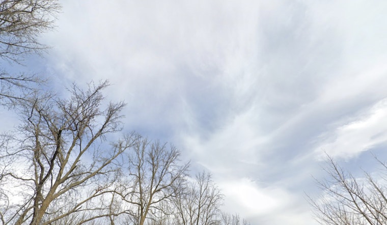
The National Weather Service in Sacramento has provided a forecast for the coming days, stating that while today will be dry, a weak storm front is expected to move through late tonight into Monday, bringing light rain primarily to the northern Sacramento Valley and higher elevations. Satellite images show mostly clear skies with some isolated mountain basin fog, supporting these predictions. Temperatures are expected to drop overnight due to clear skies, with the potential for widespread frost, especially in colder, more sheltered areas of the eastern Valley.
As the approaching system moves through, the sky is expected to shift from partly cloudy to mostly cloudy, particularly over the northern regions. The mountains north of I-80 are forecasted to receive some precipitation, while the northern Sacramento Valley may experience rain showers. Other areas will likely see cooler and cloudier conditions. According to the National Weather Service's forecast discussion, morning temperatures in some areas may drop below freezing, with Redding having a 30 to 60% chance of reaching those colder lows.
Looking ahead to Tuesday, dry conditions are expected to return, with northerly winds reaching gusts of up to 20 mph. On Wednesday, a weak weather disturbance may bring light precipitation, primarily to the mountains north of Interstate 80. However, the impact of this system is expected to be minimal, and dry weather is forecasted to return as the weekend approaches, with a ridge reestablishing itself over the eastern Pacific.
For aviators, the NWS reports that safe flying conditions will continue across interior Northern California, with visual flight rules (VFR) in place and northerly surface winds not exceeding 12 knots. This suggests smooth operations at local airstrips. Airport activity is expected to proceed without weather-related disruptions, providing a generally predictable period for air travel despite the approaching weak weather systems.


