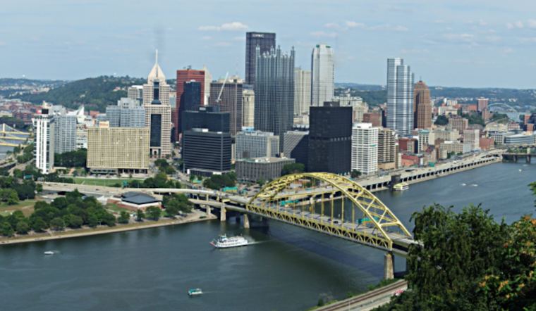
According to the latest National Weather Service Pittsburgh, PA forecast, the Pittsburgh area should expect a mix of conditions over the next week, from light rain to brief temperature spikes forecast. Published early Monday, the Area Forecast Discussion sets up Western Pennsylvania for a weather pattern.
Today, Pittsburgh residents might see the mercury nudging past the seasonal average of 42 degrees if the clouds that have clung unexpectedly to the sky decide to lift. The forecaster indicated lower confidence in reaching the projected highs due to persistent mid-level decks. Clearing through the afternoon is needed for an insolation boost. Areas of light rain are anticipated to develop early Tuesday morning but are expected to clear by Tuesday night.
As the week progresses, Wednesday is likely to be the warmest day. The National Weather Service predicts that temperatures could peak around 10 degrees above the daily average, hinting that regions south of Interstate 70 might experience temperatures exceeding 50 degrees. However, this warm spell will be promptly interrupted by a system ushering in cooler air and bouts of precipitation.
Attention then turns to the latter half of the week, when confidence is high on widespread rain Wednesday night into Thursday morning, potentially impacting the area before dawn. However, the high Thursday temperatures may occur in the morning. The timing of the frontal passage will also play a role in temperature trends, with the potential for the mercury to stagnate or fall as the day progresses. The unfolding pattern sets the stage for below-average temperatures welcoming the weekend.
There is a 50% to 80% chance of gusts >25mph for aviation interests, particularly late afternoon into evening Monday. There is also the potential for some shear overnight. Disruptions seem likely, with the guidance suggesting a rise in MVFR cigs by Tuesday morning, accompanying the potential for light precipitation.
As of the latest update, no watches or warnings are in place for Pennsylvania, Ohio, or West Virginia. However, residents and travelers in the Pittsburgh region should monitor the changing conditions and possibly variable temperatures as the system develops over the coming days.


