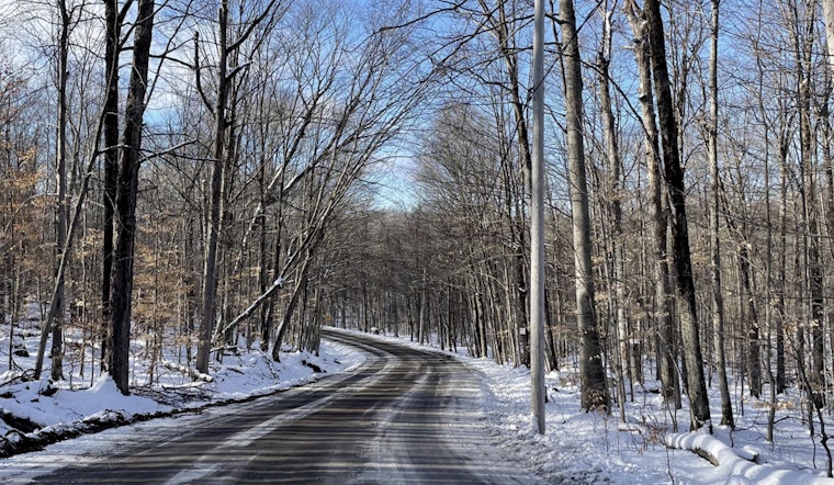
The National Weather Service in Sacramento has reported continued moderate to heavy rain and snow, accompanied by gusty winds, primarily impacting the mountains and foothills today. According to the latest weather forecast discussion, snow accumulation of 6 to 12 inches is possible in the Sierra and southern Cascades through this evening, with up to 16 inches over higher peaks, mostly occurring in the morning. Chain controls are in effect for several mountain highways, including I-80 and Hwy 50, as conditions are expected to make driving very difficult.
Rain is expected in the morning across the Valley and the Delta, with scattered showers and breaks in the clouds later. Southerly winds, which have peaked, may still gust between 20 to 25 mph through midday before decreasing in the afternoon. The storm system is weakening, with additional snowfall tapering off, particularly in Shasta County and the Burney Basin. In the northern Coastal Range, an additional inch or two of snow is likely early this morning, according to the NWS update.
Looking ahead, dry weather returns on Saturday with cool morning temperatures potentially leading to patchy frost. A brief period of high elevation rain and snow showers is on the horizon for Sunday through Monday north of I-80, but the probability of significant precipitation remains relatively low at this time.
The extended forecast from Tuesday through Friday anticipates a shortwave moving through the ridge that could bring a period of showers mid-week, mainly over the mountains north of I-80, and the northern Sacramento Valley. The probability of precipitation greater than 0.25 inches remains between 25 to 45 percent through Thursday morning, hinting at limited impacts. The late week looks to be dry with seasonably consistent temperatures, coupled with occasional gusts of breezy northerly winds, as stated by the NWS forecast discussion.
Finally, aviation conditions across NorCal are mostly VFR (Visual Flight Rules) as the weather clears, with some MVFR/IFR conditions possibly lingering until 06z Saturday. Gusty southerly winds are affecting the Valley, Delta, and foothill areas, but they are expected to decrease by the end of the day.


