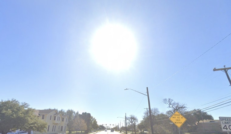
San Antonio residents can expect a mix of mist, cloudy skies, and eventual sunshine over the next few days, with temperatures peaking in the low 80s, according to the latest forecasts. The National Weather Service is predicting areas of fog for the early part of the week, which is expected to clear as the day goes on, leading to mostly clear conditions and an accompanying gradual rise in temperature through the weekend.
Starting today, areas of fog before 11 a.m. are on the agenda, but skies are set to clear by the afternoon with highs reaching near 81°F, as per the National Weather Service. Evening conditions remain stable, with patchy fog rolling in after 5 a.m., and the humidity holding steady. Tonight's lows are expected to linger around 65°F, with light winds from the south.
Similar patterns persist into Tuesday, with the early patchy fog predicted to give way to clear sky, around mid-morning, temperatures again aiming for the 81-degree mark. The wind, however, may pick up, with gusts reaching up to 20 mph. As the week continues, residents can expect a stretch of sunny weather, with highs consistently ranging from the low to mid-80s.
By Wednesday, the forecast suggests a partly sunny day, with the high near 81°F and winds from the south at 5 to 10 mph, winds could peak with gusts reaching 20 mph. The evening will bring only a slight cool down, with temperatures dipping into the low 60s. Thursday and Friday will follow suit, featuring mostly sunny skies and highs reaching around 84°F. Those planning evening activities can expect partly cloudy conditions and lows in the 60s, making for comfortable weather.
As for the weekend, San Antonians can anticipate a slight increase in warmth on Saturday with a high near 87°F, followed by a slight dip on Sunday, where the high is expected to near 78°F. The forecast shows little precipitation, meaning outdoor plans should not be significantly affected, though morning fog, a recurring feature of early February, may be present.


