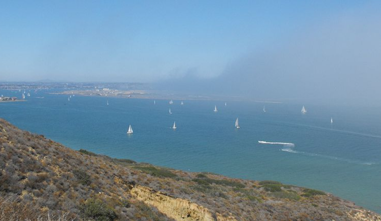
San Diegans can expect a shift in weather as we head into the week, with cooler temperatures and a marine layer making its presence known along the coast and inland valleys. "Cooling will spread inland today and Tuesday as the marine layer returns and deepens for tonight into Tuesday morning," notes the National Weather Service San Diego. Residents near the coast may have woken up to patchy low clouds and locally dense fog this morning, with conditions expected to spread into the inland valleys by Tuesday.
Tuesday's forecast anticipates a cloudy start, followed by gradual clearing leading to mostly sunny skies and a high near 64, while Wednesday should bring patchy morning fog before transitioning to a mostly sunny day, with a high near 67, according to 7 Day Forecast San Diego. Strong westerly winds are also expected in the mountains and deserts through tonight, with gusts to 30 to 40 mph, as stated by the National Weather Service. More intense gusts, up to 40 to 50 mph, can be anticipated along the desert slopes of the mountains.
The shift in conditions brings cooler air and the prospect of hallowed beach days ahead. From Thursday onwards, San Diego is slated for a warming trend through the weekend, with "high temperatures on Sunday will be as much as 10 to 15 degrees above average for the mountains and inland valleys," according to forecast discussions from the National Weather Service. By Sunday, coastal areas could bask in the upper 60s, while valleys and lower deserts might see the mid-70s to lower 80s.
NWS San Diego adds that the marine layer's influence will decline by Wednesday, paving the way for the aforementioned warm-up. Meanwhile, those looking to hit the surf should know that a long-period swell is due on Tuesday, "generating large surf up to 6-7 feet, a high rip current risk, and some dangerous swimming conditions." Swell and surf conditions are expected to subside by Wednesday. Mariners can sigh relief, though, as no hazardous marine conditions are anticipated through Friday.


