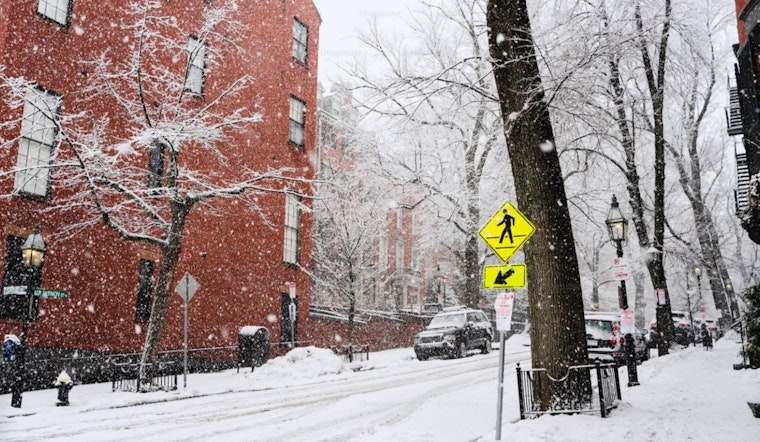
Bostonians experienced a cold snap this Sunday, with weather forecasts indicating sunny skies but high temperatures only nearing 28 degrees and wind gusts as strong as 28 mph. The wind chill made temperatures feel lower, hitting single digits and at times dropping below zero, according to the National Weather Service.
Despite the clear skies, the wind chill had residents feeling temperatures in the teens, necessitating layers and warm clothing. As per Boston 25 News, "It’s going to stay cool and breezy" and "with the winds, it’ll feel more like the teens throughout the day."
Monday's forecast predicts a continuation of the cold trend with sunny conditions and a high around 31 degrees, complemented by a Northwest wind around 7 mph, which might extend the weekend's chill.
Change comes mid-week when temperatures are expected to rise to 48 degrees on Tuesday, providing some respite from the frosty weather. But, inserted into a forecast predicting a high near 56 degrees, Boston 25 News warns of "heavier rain and stronger wind gusts," suggesting an unsettled weather pattern is approaching the city.
As Bostonians navigate the week, they'll see the conditions swinging from sunny to wet with significant rain expected Wednesday, carrying a 100% chance of precipitation at night, and likely rain before noon on Thursday per the National Weather Service forecasts.
By the time Friday rolls around, the city is looking at a return to more stable conditions with mostly sunny skies and highs in the mid-40s, in line with seasonal expectations, and just in time for the weekend. Moreover, as daylight saving time kicks in, residents can anticipate longer days in the coming weeks.


