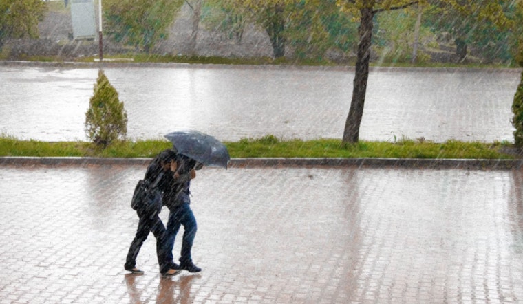
The City of Boston is bracing for a bout of wet weather this St. Patrick’s Day, with the National Weather Service forecasting "rain, mainly after 11pm" tonight, and a gusty start to the week. Unseasonably warm temperatures are expected to precede the downpour as highs rocket into the mid to upper 60s on Sunday before the cloudbursts usher in a colder front late. This transition is expected to culminate in a 100% chance of heavy rain throughout Monday, as per the National Weather Service.
The Southie St. Patrick's Day Parade, starting at 11:30 a.m., will see mild and breezy conditions on Sunday. However, wind gusts will pick up in the afternoon, and heavy rain is expected to start around midnight. A First Alert has been issued due to the weather, with gusts reaching up to 35 mph, especially along the coast. This could cause travel disruptions and road flooding, with 1-3 inches of rain expected by Monday morning, as reported by NBC Boston.
Looking ahead, residents can anticipate a brief reprieve with drier and calmer weather forecasted from Tuesday through Thursday, as partly sunny skies make a return and temperatures persist in the mild 50s. Nevertheless, a subsequent cold frontal assault late Thursday may dampen spirits yet again, triggering another round of showers, albeit less severe than this weekend's tempest.
After Thursday's milder showers, NBC Boston forecasts breezy, cooler weather to close out the week. The week has been a mix of rain, gusts, and brief sun, and Friday will bring a drop in temperatures to the upper 40s, marking a chilly end to a stormy New England spring week.


