Houston is bracing for a series of weather shifts that include a windy cold front and heightened fire risk today. The forecast calls for winds to gust as high as 30 mph. A fire weather watch has been issued for several counties in Southeast Texas including Madison and Fort Bend, underlining the potential risk for rapidly spreading wildfires, according to a recent Houston Chronicle report.
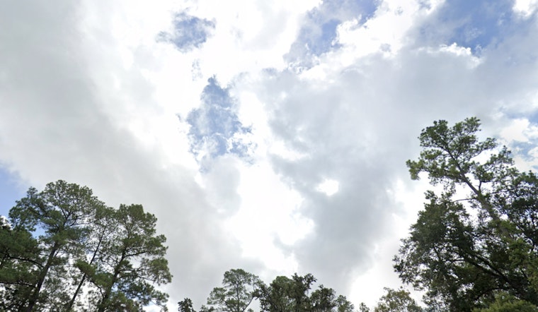
Residents in Houston experienced a mix of conditions today, with early morning clouds giving way to clearer skies and temperatures reaching 81 degrees, as noted by the National Weather Service. The clear trend is set to continue through the night, with lows dropping to around 49 degrees. Coming days will see a drop in temperatures, falling just out of 60s on Thursday, before gradually warming up heading into the weekend.
The change is consistent with the region's previous weather patterns. After a cooler-than-usual January and an erratic February, average temperatures for Houston in 2025 currently sit at 57.1 degrees—slightly cooler than the normal for year to date, based on data from Bush Intercontinental Airport.
The upcoming weekend will see the arrival of another cold front, possibly bringing in light showers by Saturday evening, with a slight uptick in temperatures preceding it. "Sunday brings Houston’s next cold front and the highest rain chances for the next seven days," the Houston Chronicle elaborates, suggesting potentially strong storms as the front moves in. Notably, while Sunday's forecast indicates muggy air and cloudy skies.
The National Weather Service and local news are monitoring these conditions and providing updated forecasts and important information to help Houstonians prepare for these changes.


