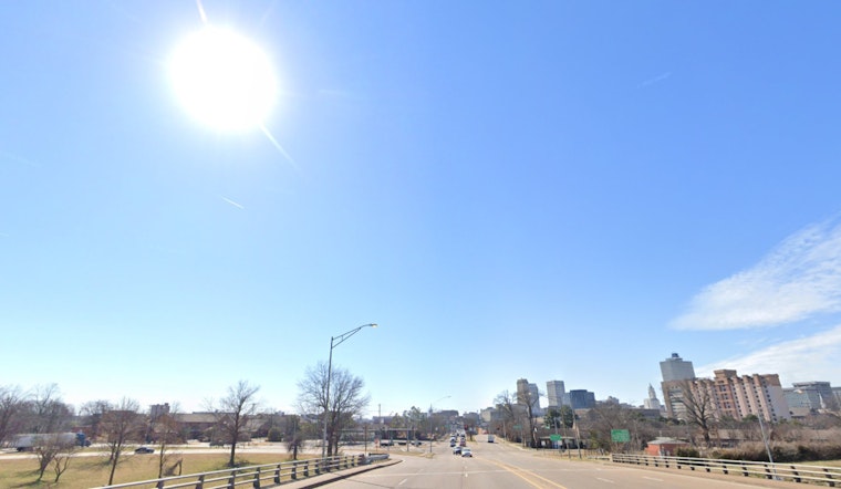
Memphis residents can anticipate a shift from overcast skies to a pleasant bout of sunshine today, according to the latest weather report from the National Weather Service's Memphis station. This morning began with a cool temperature of 55°F and humidity standing at 57%, but skies are expected to clear, leading to a high of 71°F, with calming winds turning from the west-southwest around 5 mph.
As nighttime falls, the weather remains fairly stable with partly cloudy skies and a low temperature around 53°F. South-southwest winds will persist, ranging from 5 to 10 mph. For the early birds tomorrow, it's sunglasses time once again with sunny skies and even warmer temperatures reaching a high near 77°F. "Southwest wind around 10 mph becoming west northwest in the afternoon," as reported by the NWS.
The weather pattern for the rest of the week appears to follow a familiar cadence with sunny days and partly cloudy nights. Wednesday’s outlook is bright with a high near 73°F and gentle northern winds at 5 mph. As for Thursday, expect more sun with temperatures holding steady, and come Friday, things will warm up to a high near 78°F under mostly cloudy skies, indicating a possible shift in the weather pattern.
As the weekend approaches, Memphis individuals should keep an eye on the skies. Friday night anticipates a slight chance of showers and thunderstorms kicking in after 1 am and carrying on into Saturday, where the chances of precipitation rise to 50 percent, alongside showers and thunderstorms. "Mostly cloudy, with a high near 76," as stated by the NWS forecast. Engaging the weekend, the likelihood of thunderstorms continues on Saturday night with a 60% chance of precipitation, but Sunday might offer a break with a partial return to sunshine and highs approaching 78°F.


