For those residing in or planning a visit to Orlando, the weather appears set for clear skies and potential showers over the coming days. According to the National Weather Service forecast, conditions started with patchy fog before 9 a.m., leading into a sunny day with a high near 83 degrees and gentle northeast breezes.
The sky will remain mostly clear tonight, with a low of around 62 degrees. The east wind continues to wave at a calm 5 to 10 mph. As we sail into Friday, the area should expect mostly sunny skies, though a gust could sway up to as high as 25 mph, with temperatures hovering near 80 degrees.
The weekend brings a slight change in weather patterns. Saturday forecasts suggest a 20% chance of showers emerging between 2 p.m. and 5 p.m., followed by a chance of both showers and thunderstorms thereafter. Evening conditions will likely continue potential precipitation, though only at a 30% chance. Gusts could pick up to 20 mph in a partly sunny setting with a high near 83.
By Sunday, the chance of rain ramps up to 60%, with showers and possibly a thunderstorm expected after 2 p.m. That likelihood continues into the evening, waning before the workweek starts. Residents can look forward to mostly sunny Monday and Tuesday despite a lingering 20% chance of afternoon rain showers and mild southern winds brushing through.
In the middle of next week, temperatures may climb even higher, with a projected high of 89 degrees and continued sunny conditions. While the southeast winds remain mild, they carry a whisper of potential showers, which hold a steady 10% chance during the evenings. It's a blend of summer warmth and springtime uncertainty, all playing out under the Orlando skyline.
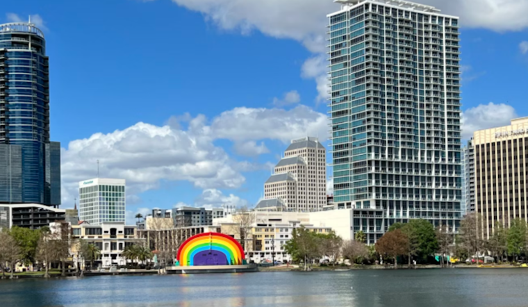
This forecast period is encapsulated within a 2-mile radius north of Orlando, Florida. For the most current and detailed weather updates, refer back to the original source, which provided this information amid an ever-evolving atmospheric theater.


