The National Weather Service in Baltimore MD/Washington DC has issued a special weather statement for the Washington D.C. area, cautioning residents about elevated fire weather conditions expected this afternoon through early evening. According to the National Weather Service, low humidity and gusty northwest winds will contribute to a greater risk of adverse fire behavior and rapid fire spread.
The statement, released at 10:37 a.m. EST today, indicates that "Relative humidity falling to 20 to 30 percent." The National Weather Service advises the public to check with local burn permitting authorities before considering any outdoor burning today. If you do decide to burn, it is imperative to use extreme caution as fires can quickly escalate under these conditions.
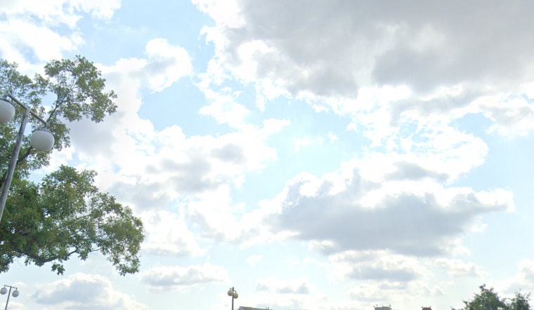
Not only is fire safety a concern, but the weather outlook also suggests a brisk day ahead. Today's forecast predicts mostly cloudy conditions through mid-morning, then gradual clearing, with a high near 54 degrees. Winds will be northwest at 15 to 17 mph, with gusts possibly reaching as high as 29 mph. The week ahead looks to carry a mix of clear skies and slightly warmer temperatures, with highs steadily climbing and peaking near 72 degrees on Tuesday before settling into the mid-60s for the remainder of the week.
As for the nightly conditions, the outlook remains mostly clear, with lows dipping to around the freezing mark tonight. Winds will taper off, becoming light and variable, with potential gusts up to 23 mph. The calm conditions should prevail into the following evenings, as the lows will range mostly in the 30s to high 40s, according to the detailed forecast from the National Weather Service.
For those looking to enjoy the sunny spells expected tomorrow and beyond, the extended forecast promises ample sunshine with only minor cloud coverage interrupting throughout the week. The NWS has not indicated any further hazardous weather, with the exception of today's fire weather warning.


