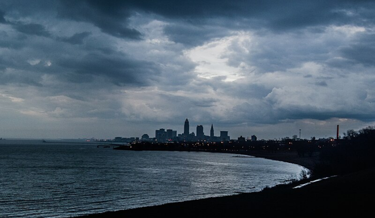
According to an area forecast discussion from the National Weather Service in Cleveland, Ohio, Clevelanders are experiencing a weather pattern with multiple disturbances expected to impact the area. This afternoon, high pressure was centered over the region, yielding a short dry spell. However, a low-pressure system moving northeast out of the Mississippi Valley is set to bring showers and possible thunderstorms late Friday evening into the overnight hours.
Temperatures throughout the morning remained in the 40s, but locals can expect numbers to climb only into the mid-50s today, with cooler readings likely near the lakeshore. Meanwhile, the warm front associated with the northeast-bound surface may result in scattered thunderstorms, although instability seems limited. Adverse timing may temper the thunder activity, with some areas highlighted as having a marginal risk for severe weather, according to the Storm Prediction Center.
Complicating matters, the forecast indicates a potential for flooding across certain areas, especially where multiple rounds of heavy precipitation are expected, with the mentioned warm front lifting north Friday night into Saturday, deepening warm cloud layers, and increasing the potential for heavy rainfall—a total of around 1-1.25 inches across the whole area and possibly over 1.5 inches in southern counties, prompting a Slight Risk for excessive rainfall warning and a Flood Watch effective into Sunday.
In the short term, another system swings in on Saturday night with high pressure finally pushing the persistent baroclinic zone to the south and east. A brief round of rainfall is anticipated from this front before a dry but chilly Sunday with the existing system. Rain and snow showers are possible thanks to a late secondary band of f-gen in the southeastern edge of the CWA later on Monday. Another upper trough and cold front reinforce colder conditions, ushering in rain and snow showers and changing to all snow showers Monday night through Tuesday, with only a couple of inches of possible accumulation expected in some areas per the National Weather Service Cleveland OH report.
Mariners on Lake Erie should note that northeast wind will result in wave heights of 2-4ft in the western basin today, with 1-3ft elsewhere. Variable winds continue through the weekend because of the low-pressure activity, and a small craft advisory might be necessary with increased wave activity from Saturday night into Sunday. So, a cautious approach to any boating plans is prudent until mid-week, when conditions start to settle.


.jpg)