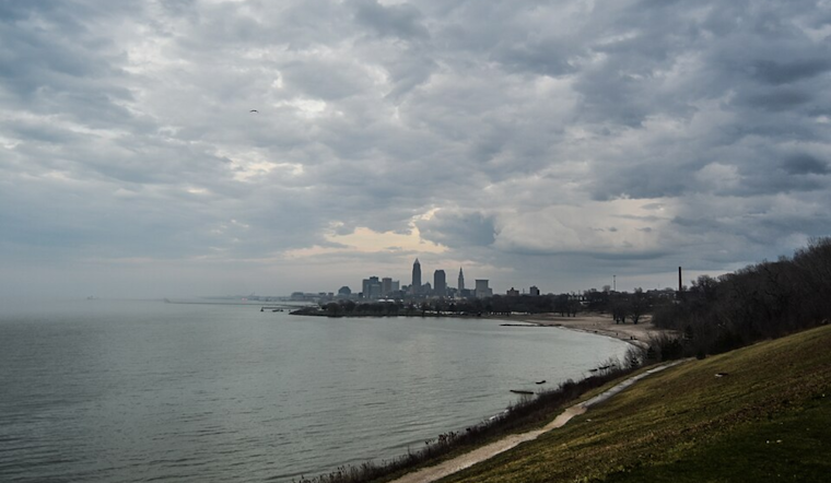
Severe weather swept through the Cleveland area as a robust low-pressure system moved northeastward from the Upper Mississippi Valley to southwestern Quebec. Residents braced for a series of weather-related impacts, including strong gusty winds and potential thunderstorms. According to the National Weather Service Cleveland OH, a warm front brought noticeable changes, trailing a cold front that pushed through the region by late evening. Behind the system, a ridge was forecast to build from the Upper Midwest, ushering in a brief period of calmer conditions.
Specifically for Erie County, PA, a Wind Advisory was in effect until noon, as forecasters anticipated southeastern to south-southeasterly downslope surface winds occasionally gusting between 40 and 50 mph along the Lake Erie shore. The advisory also noted winds elsewhere within the warm sector could gust up to 30 to 40 mph late morning through early evening. A stark contrast to the blustery conditions, post-cold front temperatures were expected to drop into the 40s overnight, underscoring the swift change brought by the system.
As the system traversed the area, the threat of showers and thunderstorms increased throughout the morning. The National Weather Service indicated that these storms could produce periods of heavy rainfall due to a strengthening low-level jet. However, flooding concerns were minimal due to the fast motion of the showers and storms, driven by a strong southwesterly mean mid-level flow between 40 and 60 knots.
Amid a Marginal Risk of severe thunderstorms noted by the Storm Prediction Center for parts of the area, forecasters highlighted that isolated multicell and supercell thunderstorms could produce damaging straight-line convective wind gusts. "Additional organized showers/thunderstorms are expected along and ahead of the E`ward-advancing cold front late this morning through evening," the National Weather Service reported. Fair weather was projected to follow the front's passage, lasting through Tuesday evening. On the maritime front, small craft advisories were issued for sections of Lake Erie, with conditions expected to remain challenging through Tuesday.
The transition into mid-week appeared to offer a respite from the latest bout of weather, as dry conditions were expected with high pressure in play. Temperature forecasts projected a mix of 60s and 70s for Wednesday. But the relative calm was not to last, as another system approached on Thursday. With southerly flow preluding its arrival, warmer air would push into the region, potentially bringing widespread temperatures in the 70s and chances for scattered showers.


.jpg)