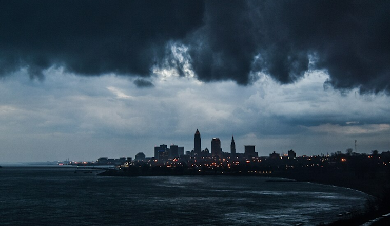
Residents of Cleveland and surrounding areas are bracing for an extended bout of weather that swings like a pendulum between spring storms and winter chills, according to the National Weather Service Cleveland OH. Starting Thursday, waves of showers and thunderstorms will drench the region with moderate to heavy rain throughout the weekend, followed by a cold snap that could see snow making a cameo early next week.
In the near term, forecasters reduced precipitation probabilities on the southeastern border of the area as the convection has largely passed, though isolated showers may continue today, minor temperature adjustments were also made. A formidable cold front is ushering in the significant line of convection, which should be mostly clear by midday, allowing for a brief respite this afternoon. However, precipitation is set to make a comeback later in the evening as yet another round rears its head.
For those looking skyward, Friday might offer some dry conditions, but that's a quickly closing window. By late Friday, another wave of rain is expected to push northward, this time potentially extending into the southern region of the forecast area. The weekend doesn't fare much better, with a warm front slowly advancing northward, teasing yet another round of convection and rain Friday night, propelled by a low-level jet exceeding 65 knots. Despite the intermittent downpours and potential thunderstorms, temperatures could hit the 60s before the cold front returns Saturday. Total rainfall is projected to reach a deluge of 2.5 to 4 inches from Thursday morning through Saturday night.
The long-term forecast sees the weather turning a corner back to winter-like conditions, with a sharp cold front on Monday followed by potential snow showers into Tuesday, which could impact morning commutes; light accumulations are a possibility as temperatures dip into the mid-30s to lower 40s across the forecast area. Relief, in the form of high pressure and a gradual warming trend, is on the horizon for Wednesday and Thursday.
Over on the marine side, Lake Erie boaters should anticipate variable winds around 10-15 knots due to the oscillating frontal boundaries, with wave heights expected to average 1-3 feet through the weekend. A subsequent front on Monday will strengthen winds from the northwest up to 20 knots Monday night and Tuesday, prompting potential small craft advisories.
In response to the anticipated heavy rain, a Flood Watch has been issued for parts of Ohio through Sunday morning. While no advisories currently impact Pennsylvania, mariners should take heed of the Small Craft Advisory in effect for parts of Lake Erie until later today. Boating and fishing aficionados might want to hold off on their plans — it's looking like a rough couple of days ahead on both land and lake.


.jpg)