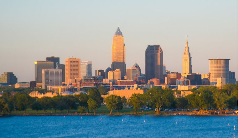
Clevelanders can expect a sunny break with warmer temperatures before stormy weather rolls in, according to the National Weather Service's latest forecast. Today, under the influence of a high-pressure system, which is set to push eastward by Monday, the city should see clear skies—a welcome change from the recent chill. With the high in place, temperatures are on the rebound, climbing nearly 10 degrees from the previous day, and are anticipated to reach the low to mid-70s on Monday, accompanied by low humidity and continuous sunshine across the region.
The weather shift is not all bright skies, though, as frost is a concern tonight in Northeast Ohio with temperatures dipping into the mid to upper 30s. Valley locales could see even cooler temps with "greater coverage of frost." Efforts may need to be taken to protect sensitive vegetation, the service warns. Moving into the week, there's an uptick in severe weather potential Tuesday afternoon and evening, as a cold front and corresponding low-pressure system make their way from the Plains towards the Upper Great Lakes, with "all hazards remain possible where storms form, including large hail, damaging wind gusts, a tornado or two, and heavy rain," as per the forecast discussion.
Meanwhile, in aviation, pilots and travelers can expect mostly clear skies and VFR conditions through Sunday. However, pilots in eastern terminals, such as ERI/YNG, should anticipate gusts of around 20 knots this afternoon. According to the synopsis, these serene conditions are expected to prevail through Monday, with the impending weather disturbances not anticipated to affect the TAF period. For boaters, the same holds, with "generally quiet marine conditions" on the forecast until Tuesday, when the passage of the cold front could increase winds to 15 to 25 knots and potentially bring strong to severe storms over the lake.
Looking further ahead, the Midwest's weather narrative remains unsettled, as Thursday through Friday could see more storm activity. Although the ferocity of these storms is up for debate, heavy rain seems likely, pointing towards larger concerns for sustained precipitation into Friday. The temperatures are expected to oscillate, with highs near the 70s on Thursday, dropping to the 60s and possibly the 50s by Saturday, according to the NWS discussion. Boaters may dodge Small Craft advisories on Friday but are encouraged to stay alert to the evolving conditions as another cold front rolls in, potentially reshaping the already capricious Great Lakes weather.


.jpg)