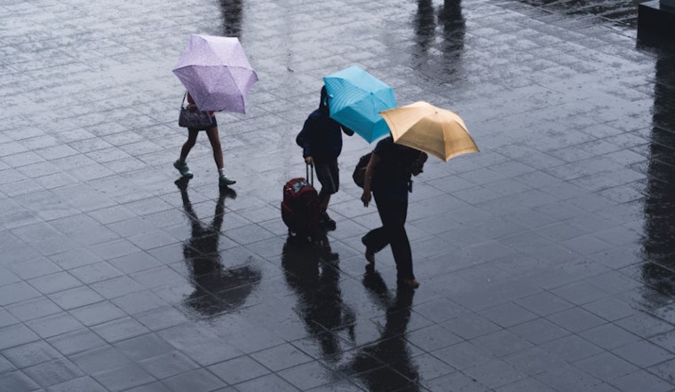
Las Vegas is bracing for a series of weather changes, according to the latest from the National Weather Service in Las Vegas. By mid-week, folks in the southern Great Basin might need to keep their umbrellas handy as there's a chance for light rain, thanks to a weak system rolling in. But it's the weekend that's got everyone's attention, with a "more potent system" on the horizon that's expected to stir up strong winds, cause temperatures to drop, and bring precipitation to the region.
Wednesday's forecast for northern parts of Inyo, Esmeralda, Nye, and Lincoln counties looks a touch wetter, with precipitation water values (PWATs) hovering between 0.50 and 0.75 inches. "Isolated thunderstorms cannot be ruled out," the weather service warned, particularly in northern Inyo and Esmeralda counties where the convective available potential energy, also known as CAPE, is highest. For those living at peaks of the Sierra Nevada, get ready to see a bit of snow, with forecasts projecting 2 to 4 inches likely to settle at lofty elevations above 9500 feet, as per the National Weather Service in Las Vegas.
In the short term leading up to the weekend, Las Vegas residents can expect temperatures to climb above normal by Wednesday as the Las Vegas valley experiences a rise in temperatures over the Desert Southwest. "Temperatures will rise to near-normal today before climbing to above-normal on Wednesday," as the National Weather Service states. With breezy conditions predicted for the Mojave Desert, those with outdoor plans should be prepared for winds picking up between 15 and 25 mph.
Looking ahead from Thursday through Monday, the stage is being set for a real shift in weather patterns. The National Weather Service states' confidence is "above average" in their forecasts, thanks to consistent model output. As the weekend progresses, a significant trough from the eastern Pacific is expected to ramp up the winds across the Las Vegas region. "Wind headlines will almost certainly be needed at some point," the forecast detailed, with the strongest gusts likely on Saturday. Temperatures will take a plunge as well—Las Vegas might see a notable drop, "with highs drop 10 to 20 degrees areawide from Saturday," resulting in a "total change of 20 to 25 degrees from Friday to Sunday."
For those flying in or out of Harry Reid, the current conditions show that VFR (Visual Flight Rules) will remain in effect, meaning the weather should be clear enough for pilots to navigate visually. However, along the Colorado River Valley, expect gusty northerly winds of 20-25 knots during the daytime. Local spotters have been encouraged to report any significant weather happenings, especially as this dynamic weather pattern unfolds over the week. Stay updated with the latest weather forecasts by checking in with the National Weather Service.


