Tampa residents are looking at a mixed bag of weather conditions today, with the National Weather Service in Tampa forecasting a 30 percent chance of showers primarily before noon, followed by partly sunny skies and a high near 75 degrees. Northwest winds will be blowing at around 7 to 9 mph, making for a moderately breezy day.
Tonight, the skies will clear up somewhat, leading to a partly cloudy evening with a low temperature hovering around 60 degrees. The breeze is expected to die down, with a north wind moving at approximately 6 mph. According to the National Weather Service's detailed forecast, the rest of the week promises more sun, and a gradual warm up, with Thursday and Friday boasting highs in the mid-80s, and nights remaining cool, dipping into the low 60s.
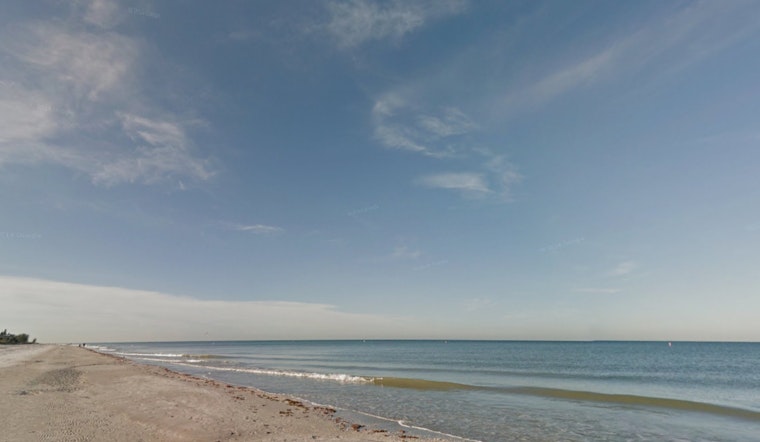
However, it's not all calm in the Tampa area. The NWS has also put out a coastal hazard message, maintaining a high rip current risk advisory for several counties including Pinellas, Coastal Hillsborough, and Coastal Manatee through this evening. Such conditions heighten the danger of strong rip currents that can pull swimmers away from the shoreline into deeper waters.
"Swim near a lifeguard. If caught in a rip current, relax and float. Don`t swim against the current. If able, swim in a direction following the shoreline. If unable to escape, face the shore and call, or wave for help," advises the public safety announcement from the National Weather Service. This statement underscores the seriousness of the current conditions and offers guidance on how to safely handle an encounter with a rip current.
For the weekend, the weather looks to remain favorable for outdoor activities, with Saturday and Sunday forecasted to be sunny with highs of 76 and 79 degrees, respectively. Evening temperatures will be comfortably in the mid-50s to high 50s, perfect for those looking to enjoy a night under the stars. The NWS encourages everyone to take heed of current advisories while making the most of the predominantly pleasant weather ahead.


