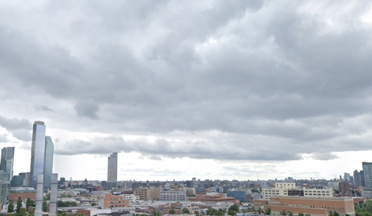
As New Yorkers brace for a burst of showers after an initially sunny day, weather forecasts across the boroughs promise a wet weekend ahead; the National Weather Service has indicated that rain will start mainly after 11 p.m. tonight, with high probabilities of precipitation hovering around 90%, Partly sunny days will bookend the expected downpours with temperatures varying slightly between the neighborhoods.
In Manhattan, residents can expect highs near 77 degrees today, dropping to a low around 59 tonight, and somewhat similar weather is on the horizon for Brooklyn with today's high near 72 and tonight's low around 58, according to the respective detailed forecasts obtained by forecast.weather.gov for Manhattan and forecast.weather.gov for Brooklyn.
Queens' forecast mirrors Brooklyn's with a high today of 72 degrees, and a cool down to 57 degrees tonight, meanwhile, The Bronx and Staten Island both anticipate similar weather patterns with showers mainly after 11 p.m. and lows in the upper 50s tonight; both boroughs can look forward to mostly sunny skies by Sunday, which seems to be a common thread throughout New York City this weekend, according to forecast.weather.gov for Queens, forecast.weather.gov for The Bronx, and forecast.weather.gov for Staten Island.
Despite the impending rain, the National Weather Service maintains a Hazardous Weather Outlook which states "No hazardous weather is expected at this time," signaling no severe weather events that may reach NWS warning criteria, both the Peconic and Gardiners Bays, all the way to Atlantic coastal waters, Southern Connecticut, Northeast New Jersey, and Southeast New York, all these areas were highlighted as spots not to worry about serious hazards, as documented on the official NWS outlook.


