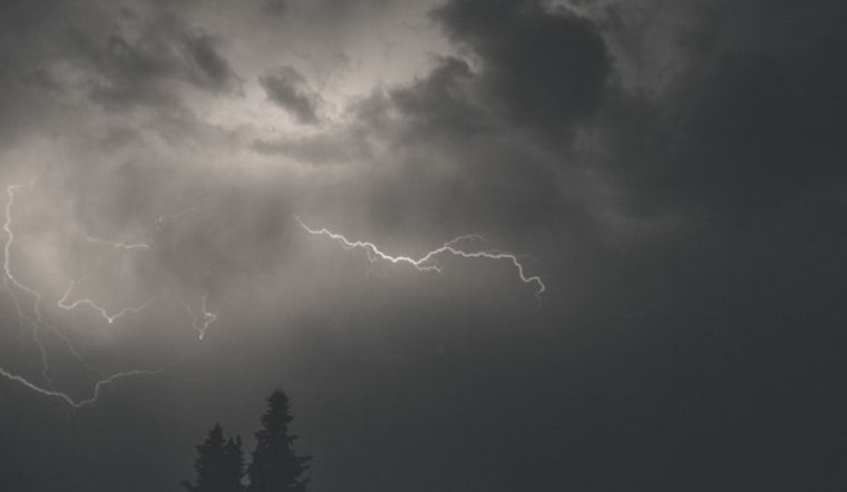
The National Weather Service in Raleigh has issued a forecast for the central North Carolina area, warning of a wet and potentially thunderous roller coaster over the next several days. According to the latest update from the NWS, residents can expect rain and thunderstorms today before 4 p.m., followed by a likely continuation of showers—and possibly another storm—between 4 and 5 p.m., with a continued chance of showers and thunderstorms after 5 p.m. The high is expected to hover near 63 degrees, with calm winds picking up to around 6 mph by the afternoon.
Carrying an umbrella might be justified tonight, with showers and thunderstorms likely before 3 am, then a chance of more showers into the early hours. The low temperature will likely settle around 47 degrees. As reported by the NWS, "Chance of precipitation is 60%." Always looking to prepare for conditions ahead, a slight chance of showers is on the table for Saturday, with mostly cloudy skies and a high near 58 degrees. But Saturday night's story is a bit more serene, albeit with a slight chill, forecasting partly cloudy skies and a low around 44 degrees.
Sunday will likely bring a break in precipitation, with sunny skies and a high near 68 degrees to bask in and light northwest winds providing a gentle rustle. The forecast suggests that the serene conditions will slide into Sunday night, which is expected to be mostly clear with a low hovering around 48 degrees. NWS is showing a distinction in early week weather—Monday promises to ramp the thermostat up to sunny and 82 degrees, with Monday night maintaining clear skies and a low at a comfortable 61 degrees.
Heading into mid-week, the weather seems to take a calm stride with partly sunny skies on Tuesday reaching up to a high near 74 degrees, and a descent into a mostly clear Tuesday night with a low knocking on the door of 46 degrees. NWS confirms that Wednesday will glimmer under sunny skies and a high near 67 degrees, with Wednesday night expected to be clear with a low around 42 degrees. Thursday should mirror Wednesday's brightness, shining sunny with a high near 69 degrees.
Amidst the seesaw of wet and clearing skies, the NWS has also issued a Hazardous Weather Outlook, specifically for today and tonight, flagging the potential for strong to severe thunderstorms in the region. Residents are advised to stay vigilant as some storms may come with hail and possibly harsh wind gusts. While no hazardous weather is expected beyond tonight, NWS encourages weather spotters to continue to report significant conditions, as per standard operating procedures for the coming days.


