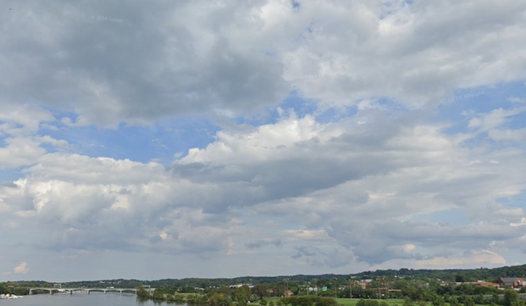
The National Weather Service in Washington D.C. has issued an advisory warning of breezy conditions and potential Gale Warnings for the Chesapeake Bay and tidal Potomac. As of the latest update, the D.C. area is experiencing mostly cloudy skies, with a brisk northwest wind at 22 mph, gusting to 32 mph and a temperature standing firmly at 50°F. According to the forecast, the remainder of the day should see a shift towards sunny skies with a high near 72°F and persistent strong winds.
Looking forward, the city can expect a mostly clear night, with northwest winds calming down to a range of 5 to 9 mph before becoming light after midnight. Temperatures are set to drop to a low around 47°F, as indicated by the National Weather Service. The outlook for Monday is promising as well, with sunny conditions and a peak temperature near 76°F, accompanied by a light and variable wind.
Continuing through the week, the weather narrative remains very much akin to a vernal pastiche. The forecast for Tuesday predicts another day bathed in sunlight with temperatures climbing to a high near 85°F, encouraged by a gentle south wind moving at 6 to 10 mph. The warm trend appears persistent, as Tuesday night is projected to be mostly cloudy with a low settling around 66°F.
By midweek, the weather starts to pose a slight challenge in the form of potential showers. Wednesday presents a 30% chance of precipitation later in the day, despite being partly sunny early on and reaching highs near 83°F. As detailed by the National Weather Service, similar conditions will persist into the night, with a 30% chance of showers before the transition to Thursday.
The latter part of the week continues to flirt with rain possibilities, as Thursday has a 40% chance of afternoon showers, despite temperatures hovering about a high of 85°F. At night, again, a 40% chance of rain is expected before conditions clear somewhat towards the weekend. As Friday ushers in, the possibility of showers and thunderstorms increase, peaking at a 50% probability amid a partly sunny sky and a high near 83°F.
In anticipation of possible hazardous weather conditions, the National Weather Service advises caution for the southern parts of the Chesapeake Bay and tidal Potomac River areas. While no additional hazardous weather is expected from Monday through Saturday, the Weather Service's Hazardous Weather Outlook underscores a period of reprieve. "No hazardous weather is expected at this time," the outlook reads, suggesting a brief hiatus from adverse weather for the region. Nevertheless, weather watchers and local citizens should remain alert and abreast of any updates.


