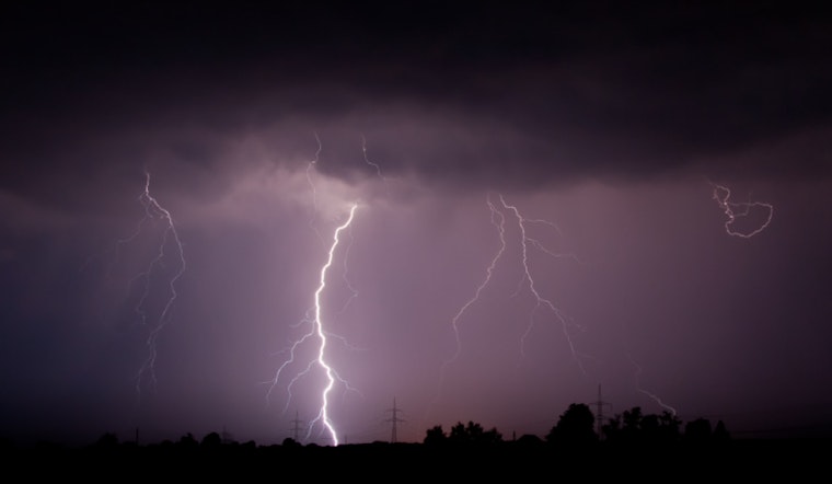
Houston residents should expect showers and thunderstorms today, with the potential for hail, high winds, and possible tornadoes, especially north of I-10. The National Weather Service states that the entire Houston area is at risk, with the most severe conditions likely around midday in areas north of the interstate, according to FOX 26 Houston.
The city is experiencing a humid and windy day, with gusts up to 30 mph and temperatures in the low to mid-80s. A flood watch is in effect for areas north of Houston. Tornado or severe thunderstorm alerts may be issued for several counties by noon. Windy conditions are expected in areas south of Houston, although storms in those locations are likely to be less severe. Residents are encouraged to monitor weather alerts through official sources, including the FOX 26 Houston Weather App, for the latest updates.
The National Weather Service reports continued unsettled weather in Houston, with "showers likely and possibly a thunderstorm," partly sunny conditions, and a 60% chance of rain. Rainfall between half and three quarters of an inch is possible. Rain chances are expected to decrease from Thursday, though isolated showers and thunderstorms may still occur. Temperatures are forecast to rise into the upper 70s to mid-80s by the weekend.


.jpg)