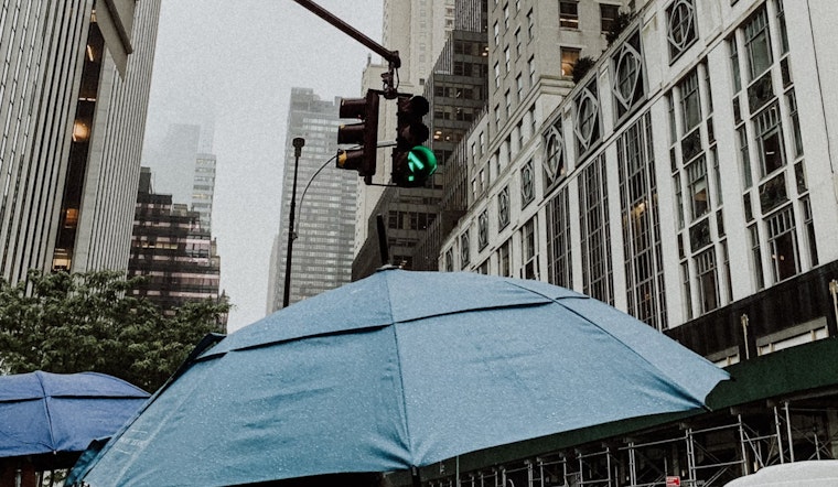
New Yorkers should prepare for a week sprinkled with rain showers and thunderstorms, with the National Weather Service issuing detailed forecasts for various boroughs across the city. According to the NWS forecast for Manhattan, today will see a high near 62 degrees with showers and possible thunderstorms after 11 a.m., and similar conditions are expected throughout the night.
Meanwhile, Brooklyn residents will experience steady temperatures around 64 with gusty winds, as per the NWS update.
The weather outlook for Queens on Thursday suggests a high near 71°F. Residents can expect a mix of showers and thunderstorms continuing into the weekend. The skies will remain mostly cloudy, with occasional breaks of sunshine providing brief relief from the gray, as per the NWS forecast.
In the Bronx, weather conditions closely mirror those in Queens. Showers and scattered thunderstorms are expected through the weekend, paired with highs in the low 70s. Cloudy skies will dominate, though intermittent sunshine may peek through at times, as reported by the NWS.
Staten Island is also forecast to experience similar weather patterns, with a high around 71°F on Thursday. The National Weather Service predicts continued cloudy conditions, punctuated by potential rain and thunderstorms that could linger into the weekend.
While the forecasts paint a picture of a soggy week ahead, the National Weather Service has not issued any hazardous weather warnings for the city at this time. According to a Hazardous Weather Outlook, there are no expectations of weather events that would meet the NWS warning criteria in the days to come, while spotter activation is not anticipated.


