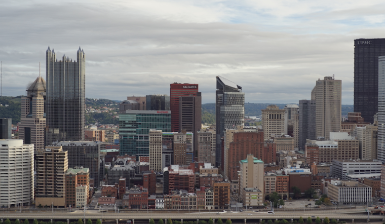
As a low-pressure system moves northward into Pittsburgh, residents are bracing for a weather cocktail that includes potential flooding and a suggestion of severe storms. According to the National Weather Service, a flood watch is in effect through Thursday morning, with rainfall totals anticipated to reach up to 2.5 inches in some areas.
Current assessments caution of an unsettled pattern with heavy rain and low-end severe potential today, with temperatures hanging stubbornly below normal for this time of year. The passing front has already saturated the grounds with predawn showers, setting the stage and raising concerns for potential flooding as the day progresses. The spike in water levels is expected to peak between 2 p.m. and 8 p.m.
Residents in and north-east of Pittsburgh, you've been specifically flagged for heavier amounts of rain. The forecasters eye the warm front stalling above. In contrast, the cold front hastens from the west – Pittsburgh, nestled squarely between- and could see a temporary lapse in the storminess late in the morning, which could significantly affect how the rest of the day unfolds.
Looking ahead, showery skies aren't parting anytime soon. The low-pressure enemy will linger, bringing more rain on Friday. It's not all grim, though, despite the promises of daily rain chances into the weekend, there's a whisper of moderating temperatures. Still, don't ditch the umbrellas just yet; those temperatures will be, after all, still below normal.
In aviation news, multiple rain showers might pester flights, with intermittent restrictions forecasted. For those flying, or expecting arrivals, visibility thresholds of MVFR peak for all ports with a substantial probability of IFR, especially north and west of PIT. Showers may relent mid-morning, but a cold front trailing by midday could reignite storm development, replete with potentially strong, albeit temporary, gusts.
Finally, the flood watch stands firm for several Pennsylvania counties, including PAZ021-029-031-073>076, and parts of West Virginia, WVZ021 and WVZ509>514, through late tonight. Stay aware, stay dry, and watch those rising waters.


