The National Weather Service in Morristown, Tennessee, has issued a hazardous weather outlook for parts of southwest North Carolina, east Tennessee, and southwest Virginia for today and tonight, with a focus on potential severe weather conditions. The official forecast suggests there's a "chance of showers and thunderstorms before 3pm, then showers likely and possibly a thunderstorm between 3pm and 5pm, then a chance of showers and thunderstorms after 5pm" today in Knoxville, with a high near 83 degrees. Beware of calm winds turning west around 5 mph in the afternoon.
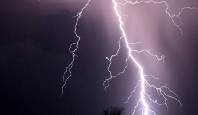
⛈️Thunderstorms are in the forecast today and tomorrow.
— NWS Morristown (@NWSMorristown) May 19, 2025
Have a severe weather safety plan and ways to receive watches or warnings! pic.twitter.com/tQpErWWABE
As the week progresses, the likelihood of severe thunderstorms increases, particularly "late Tuesday afternoon and into the overnight hours ahead of a cold front," according to the NWS outlook. Providentially for outdoor enthusiasts and commuters alike, the winds are expected to remain relatively tame tonight, maintaining a calmness even as the low temperature hovers around 65 degrees.
The situation escalates on Tuesday, with thunderstorms possibly turning severe. The NWS nonchalantly cautions that there will be a 70% chance of precipitation and that some thunderstorms "could be severe," with usual suspects like "damaging winds" but also the treacherous possibilities of "large hail and tornadoes with the strongest storms." Daytime conditions might tempt complacency with its partly sunny skies and a deceptive high near 86 degrees. Nonetheless, winds could ramp up, gusting as high as 20 mph.
By Wednesday, earlier rains and thunderstorms are expected to abate before 8 a.m., yet those that linger could still reach severe classification. The weather service foresees a 60% chance of precipitation in a mostly sunny Knoxville, with a high near 77 degrees. Yet, under the veneer of improving skies, West wind will edge towards sternness, reaching 10 to 15 mph, with gusts pushing up to 25 mph.
In preparation for these conditions, weather spotters, often the civilian sentinels of the skies, "will likely be needed this week, possibly on Monday afternoon and likely on Tuesday evening," as stated by the NWS Hazardous Weather Outlook.


