New Yorkers can expect a wet week ahead with showers and thunderstorms forecast across all five boroughs. In Manhattan, showers are likely with a chance of thunderstorms after 2 p.m., under cloudy skies and a high near 67°F. Brooklyn will see similar conditions, with a high around 65°F and a chance of showers and thunderstorms. Patchy fog is also expected tonight, potentially reducing visibility in both areas, according to the National Weather Service.
Queens is expected to be slightly cooler today, with a high near 64°F. There's a chance of showers and possible thunderstorms after 11 a.m. on Wednesday, but conditions are expected to improve by the afternoon with some sunshine likely. Overnight, residents can expect partly cloudy skies and a low around 57°F, as per the NWS forecast for the area.
In the Bronx, locals will experience similar weather to Manhattan, with today's "showers likely, with thunderstorms also possible after 2pm. Patchy fog," however, gusts reaching up to 20 mph could further contribute to the unsettled weather conditions, as indicated in the NWS advisory for the Bronx.
In Staten Island, the high for today is projected to be 67, with showers and possible thunderstorms, and stronger wind gusts up to 21 mph might impact the region, states the NWS forecast for Staten Island.
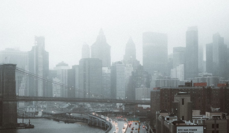
The National Weather Service has not highlighted any immediate hazardous weather for the New York City area that meets their warning criteria for the coming days. However, a Dense Fog Advisory is in effect until 11 a.m. EDT this morning for the coastal waters, including Long Island Sound and New York Harbor. No hazardous weather that would meet NWS warning criteria is expected Wednesday through Monday. Evening conditions across the city are forecasted to be mostly cloudy with patchy fog potentially lingering.


