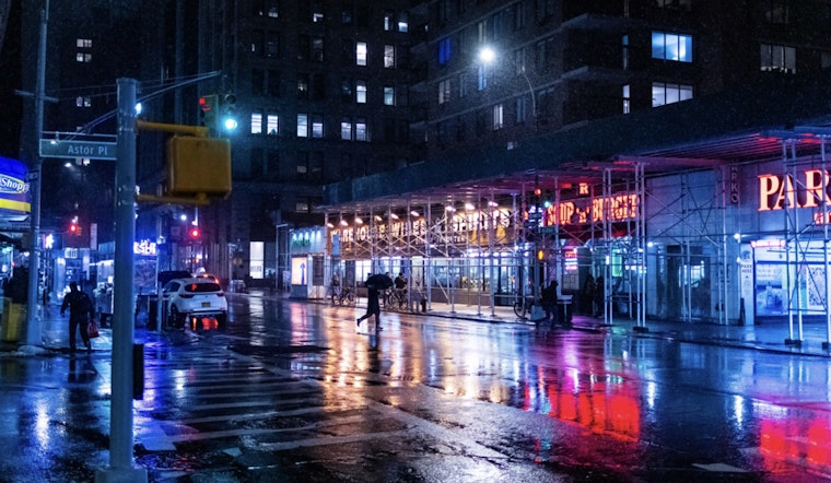
New Yorkers should brace themselves for a wet and potentially stormy weekend across the boroughs, according to the latest forecasts. Manhattan, Brooklyn, Queens, Bronx, and Staten Island are all expecting similar weather patterns, starting with chances of showers and thunderstorms later today, as reported by the National Weather Service.
The likelihood of heavy rain is so significant that by tonight, the chance of precipitation jumps to 90%, with new rainfall amounts ranging between a half and three quarters of an inch possible. While daytime highs for today will be milder, hovering in the mid-70s, temperatures will drop to around the high 50s to 60s overnight as the storms roll in. As per the NWS, Staten Island is facing a slightly higher chance of precipitation at 40% for today’s showers.
By Saturday, all five boroughs can expect showers likely and possibly a thunderstorm before 8 a.m., followed by more showers and potential thunderstorms into the afternoon. The National Weather Service reports a 70% chance of precipitation for most areas on Saturday. Temperatures will remain fairly consistent, with highs in the low to mid-70s and nighttime lows dipping down to the low 50s to high 50s.
Looking into next week, the skies should clear up significantly, bringing mostly sunny to sunny days from Sunday through at least Thursday, with temperatures gradually climbing. By Thursday, the boroughs could see highs approaching mid-80s, offering a reprieve from the weekend rains. Despite the potential for heavy rain this weekend, the Hazardous Weather Outlook released by the National Weather Service states that hazardous weather is not expected that would meet NWS warning criteria.


