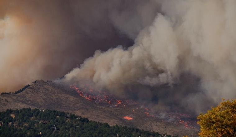
The battle against wildfires in the Bay Area has taken a high-tech turn with the recent development of a new ember-risk map and artificial intelligence (AI) sensors that aim to detect fires early before they can wreak major havoc. In a push to buttress defenses against the ever-present threat of wildfires, local authorities are leveraging technology to predict and respond to these natural disasters more efficiently.
The Mercury News reports that the new map, created through a partnership between NASA's Ames Research Center and the Santa Clara County FireSafe Council, uses satellite imagery to identify areas where vegetation will likely produce dangerous embers during wildfires. Officials concerned with fire safety are paying close attention to this map because of its potential to pinpoint specific locations where fire prevention measures like controlled burns, fire breaks, and vegetation clearing could be most impactful. “The fire can be down the hill or across the valley and you’re going to get embers falling on your property,” San Jose State University’s Wildfire Interdisciplinary Research Center Director Craig Clements mentioned in an interview with the publication.
In a parallel effort to enhance early wildfire detection, Santa Clara County has approved the installation of 50 AI fire detection sensors, according to ABC7 News. Utilizing AI pattern recognition, these sensors analyze air samples for the presence of smoke and can trigger alerts to authorities, allowing for rapid response. Positioned in remote areas, these high-tech devices complement approximately 100 other sensors in the Bay Area.
The intersection of technology and fire prevention efforts provides a beacon of hope for communities haunted by the specter of wildfire destruction. Supervisor Otto Lee told ABC7 News, "So, I think it's so important for us to make sure that we are using technology -- in this case, AI -- for the betterment of everybody." Red-flagged regions include densely vegetated zones that, in the event of a fire, according to NASA earth scientist Christopher Potter, could see dense embers that more or less explode, and spew flames out of it, which can ignite other vegetation or even a structure. This risk of ember-driven wildfire spread adds urgency to integrating these new technologies in wildfire risk management.


