Bay Area residents should be prepared for minor coastal flooding as the National Weather Service in San Francisco has issued a Coastal Flood Advisory effective from 8 PM Tuesday to 1 AM Wednesday. The advisory warns those in Bayshore locations along the San Francisco Bay and San Pablo Bay to avoid circumventing barricades or driving through water when the depth is unknown. The advisory stresses the importance of safety and caution during this period, particularly for individuals living or commuting through the affected areas. For more information, visit the NWS San Francisco website.
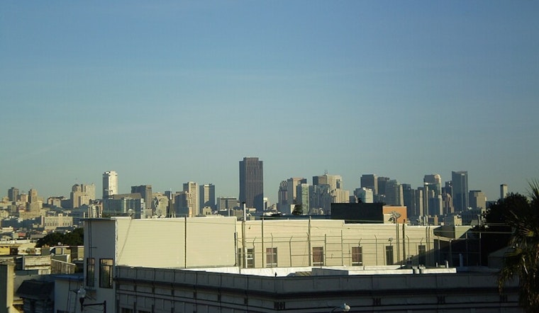
According to the National Weather Service's latest Area Forecast Discussion, we're looking at what seems to be a classic summer pattern for the Bay Area, with coastal clouds and fog expected to continue their nightly advance inland. Lower confidence suggests that a full intrusion into Napa County and the interior East Bay might occur between 3 AM to 5 AM before clearing up by the mid to late morning. Otherwise, those living inland can expect sunny afternoons once the fog dissipates.
Further down the week, a slight warming trend is on the horizon for interior locations, with a quasi-zonal flow transitioning into weak upper-level troughing near the weekend. High temperatures will experience a gentle climb, moving from the upper 80s to low 90s and reaching into the low to mid 90s by the weekend. However, those nestled in coastal communities might not feel as much heat, especially if confined to areas blanketed by persistent stratus clouds, with temperatures likely ranging from the upper 50s to mid-70s.
In terms of aviation, the local area is seeing a "mixed bag of LIFR-MVFR at the terminals," despite shortwave ridging leading to a robust marine layer this morning, which encourages less confidence in a widespread VFR achievement today. Sitting at 1,600 feet as recorded by the Fort Ord profiler, the marine layer signals low stratus clouds may stubbornly linger around bayshore and coastal terminals throughout the day, per the National Weather Service.
Mariners are also advised of fresh to strong northwesterly breezes and moderate to rough seas starting Wednesday, extending through to Saturday. The National Weather Service has issued a Small Craft Advisory, which will be in effect for various off-coast zones from as early as 3 PM this afternoon until 9 PM PDT Wednesday. Coastal and marine enthusiasts should exercise extra caution or consider altering their plans to account for these conditions. Detailed marine weather information can be found on the NWS San Francisco Marine page.


