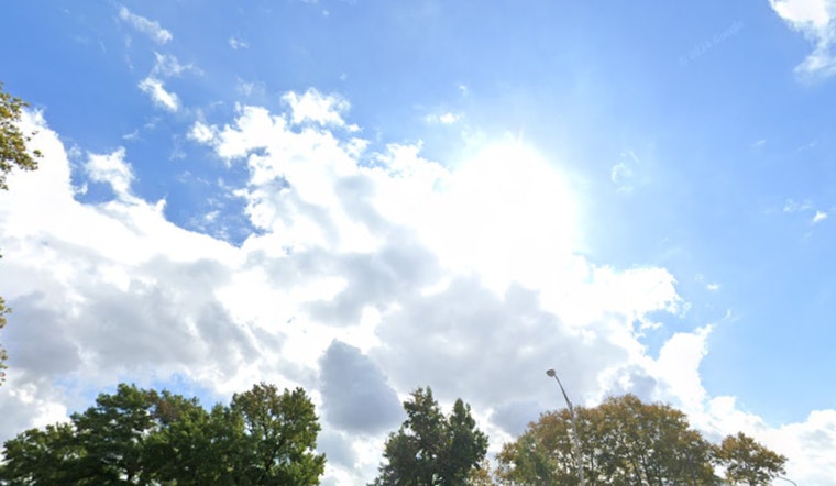
Houston will see a mix of sun and possible thunderstorms throughout the week. According to the National Weather Service, today will remain mostly sunny with highs hovering near 89 degrees, accompanied by southeast winds at speeds of 5 to 15 mph and gusts that could reach 20 mph.
Temperatures in Houston will rise from the low 90s to the mid and upper 90s by the weekend. Starting Thursday, air quality may decline due to heat and a possible Saharan dust plume, which could cause allergy-like symptoms. There is a small chance of an isolated storm this afternoon. Evening temperatures will stay mild around 77 degrees with mostly cloudy skies. A 30 percent chance of rain and thunderstorms is forecast for Wednesday afternoon, with scattered storms and haze expected later in the week, as reported by the National Weather Service.
A Saharan dust plume is expected to reach the Gulf Coast by the end of the week, peaking on Friday and Saturday. The dust may cause hazy skies during the day and be most visible at sunrise and sunset. People sensitive to air particles are advised to take precautions. Scattered storms are also possible in the Houston area. In the tropics, a low-pressure system may develop but is not expected to impact Texas, as stated by FOX 26 Houston.


