The weather pattern in Houston is gearing up for a significant event as forecasters predict another bout of storms on the horizon. Following a week fraught with showers and thunderstorms, today is expected to bring an intensification of these conditions. According to the National Weather Service, today's weather is likely to include showers and thunderstorms mainly after 5 pm, with a 60% chance of precipitation and potential rainfall amounts ranging between a quarter and half of an inch.
Adding to the city's strain, forecasts from the NWS indicate that thunderstorms are likely to continue into the evening before 7 p.m., with a sustained 60% chance of rain. The rest of the week remains unsettled, with heavy rainfall expected during tomorrow’s afternoon storms and a concerning 70% chance of precipitation, potentially bringing 1 to 2 inches of new rainfall.
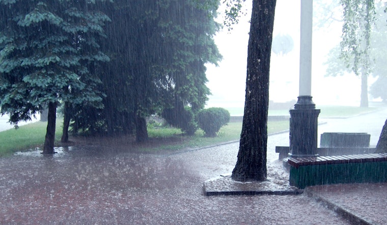
In an assessment echoing these predictions, a CW39 weather alert warns of the incoming weather system being potentially stronger than its predecessors. This assertion is anchored by the influx of moisture conducive to widespread thunderstorms, especially in regions recently inundated by rain. The alert urges residents to be vigilant, noting that "localized flooding is a growing concern," and reminds them to be proactive if their area has been prone to "drainage issues or high water recently."
As the weekend approaches, Houstonians face a continued chance of showers and thunderstorms, with a steady pattern of 60% chance during daytimes and slight reprieve during the nights. By next Tuesday, the percentage for storms slightly lowers to a 50% chance, as reported by the National Weather Service.


