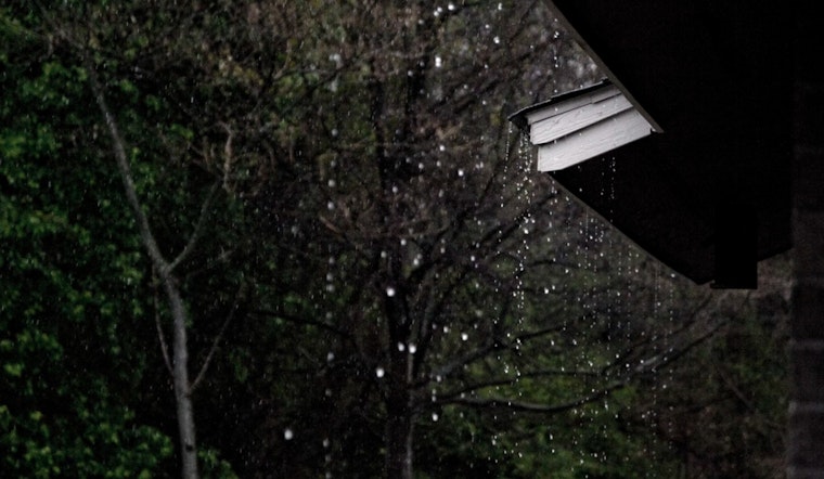
The National Weather Service forecasts a stormy week ahead for Houston and its surrounding areas, with showers and thunderstorms likely, particularly before evening hours. According to Houston's weather forecast, there is a 70% chance of precipitation today, with potential heavy rainfall amounts between three quarters and an inch. The unsettled weather is expected to continue throughout the weekend, with a 50% chance of storms tomorrow and a 60% chance by Sunday. Temperatures will hover just below the 90-degree mark.
Meanwhile, Click2Houston reports a flood watch in effect for parts of southeast Texas until 7 pm. Areas like Baytown and Pasadena, already dealing with saturated grounds, may see rapid runoff into streets and low-lying areas. They advised, "Turn Around Don't Drown," warning that just 6 inches of moving water could knock a person off their feet and 12 inches could float a vehicle. The weekend's weather will be driven more by daytime heating than an organized storm system, as the low moves away, leaving a weakness in the atmosphere.
Forecasters are keeping their eyes peeled for tropical activity but expect no cyclone development over the next week in the Tropical Atlantic. The region remains relatively calm amid the typical June storm pattern, which Click2Houston describes as "diurnal" – storms that prosper in the daytime heat rather than nocturnal developments.
Looking ahead, the 10-day forecast anticipates continued warm weather for Houston, with temperatures ranging from the upper 80s to mid-90s. By the following weekend, the area may enter a drier weather pattern, providing some respite from the persistent showers and thunderstorms. Juneteenth could see likely showers and thunderstorms, with a 60% chance of precipitation and high temperatures near 88 degrees, as stated in Houston's weather forecast.


