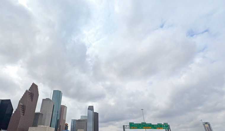
Houston residents should keep their umbrellas close as the city anticipates a week punctuated by showers and the occasional thunderstorm. According to the National Weather Service, the probability of precipitation is set at 60% for today, with thunderstorms likely after 5pm and a high near 90 degrees. The evening may see a decrease in storm activity, yet a 30% chance of showers persists.
Tomorrow's outlook isn't looking any drier, with showers and possible a thunderstorm forecasted and an 80% chance of rain. Rainfall could range between a tenth and a quarter of an inch, although this could increase significantly during thunderstorm events. The nighttime promises a reprieve before thunderstorm chances pick back up on Thursday, maintaining a consistent pattern of partly cloudy skies and a 30% chance of rain through the evening. As the week progresses, the possibility of showers continues, with a high of 92 degrees expected by Monday.
Shifting weather patterns are to blame for the wet conditions, as high pressure moves eastward, opening a gateway for moisture from the Gulf to flow in. This influx of damp air is in stark contrast to the eastern half of the country, where dry air is leading to record-breaking temperatures, as noted by Click2Houston.
In the wider sphere, meteorologists are keeping an eye on a trough of low pressure near Bermuda, which shows the potential to develop into the season's first named storm, Tropical Storm Andrea. However, its current trajectory towards colder waters and stronger upper-level winds suggests that it will dissipate quickly and poses no threat to the continental United States.
Despite the spate of rains, there’s a silver lining for Houstonians planning to attend the upcoming Pride Parade, as current forecasts indicate a possible reduction in rain chances over the weekend. For the most up-to-date weather tracking, residents can follow local radar and updates, ensuring they stay prepared for the Texas city’s mercurial skies.


