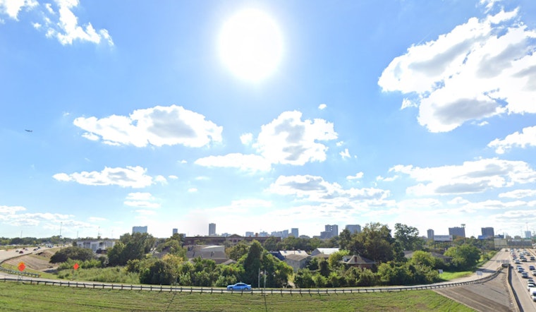
Houston is bracing for a typical summer scorcher today, with forecasters predicting a high of 90 degrees, and accompanying heat index values that could soar as high as 101. The National Weather Service cautions Houstonians that these conditions pose a significant risk for heat-related illnesses, so staying hydrated is a must. "Today will be mostly sunny, with a high near 90 degrees after noon. The heat index values are expected to reach as high as 101 degrees," as stated in a weather forecast from CW39.
As night falls, temperatures will hover around 78 degrees with a southwesterly wind ushering in partially cloudy skies – a mild reprieve, before the wind’s shift to the south at 5 to 10 mph. The National Weather Service has outlined that residents can expect a mostly sunny juncture with slight cloud cover. Their forecast indicates a consistent pattern of mostly clear nights and the potential for upcoming showers and thunderstorms starting Juneteenth.
Tomorrow brings a 30 percent chance of afternoon showers and thunderstorms, with highs once again nearing 91 degrees – a pattern set to repeat itself with slight variations as the week progresses. The chances for precipitation will begin to rise approaching the weekend, with a 40 percent likelihood of showers and thunderstorms by Sunday afternoon, according to the official weather service report.
Looking ahead, Monday and Tuesday are setting up to bring more significant rainfall, with chances of showers and thunderstorms pegged at 60 percent and 70 percent, respectively. Overnight lows each day through the period are expected to remain steady, in the mid to high 70s, providing Houstonians some reprieve from the heat. The wind, perpetually from the south, seems a constant companion through this sweltering chapter of Houston’s summer tale. CW39 reports a consistent breeze offering at least a whisper of movement in the stifling air.


