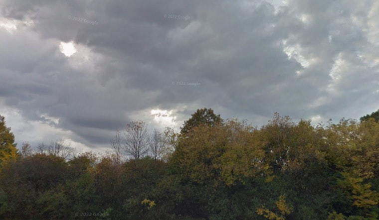
The National Weather Service (NWS) in Milwaukee has issued a weather forecast for the region with a mixed bag of conditions, including a bout of potentially harsh elements. Today, Milwaukee residents can anticipate a slight chance of showers between 1 and 2 pm, followed by a greater possibility of showers and thunderstorms post-2 pm, according to the NWS report. The day promises to be breezy with winds from the south intensifying to 20 mph, with gusts potentially reaching 35 mph, and the chance of precipitation stands at 50%.
Tonight, the NWS projects an upward tick in stormy weather—a 90% likelihood—with new rainfall amounts ranging between a quarter and half an inch possible, moreover, urban and small stream flooding could emerge as a significant threat, the night is also set to remain windy with gusts up to 30 mph, before giving way to more showers tomorrow mainly before 1 pm, and a high of 62 degrees under the company of a north wind around 10 mph, with an 80% chance of rain carrying on the wet trend.
In a Hazardous Weather Outlook, the NWS has extended its forecast to the upcoming days, warning of intermittent thunderstorms early next week and the potential for spotter activation during this afternoon and tonight. This outlook covers a broad area from east central to southeast Wisconsin, encompassing counties like Marquette, Green Lake, and Kenosha, striving to keep locals alert about the impending climate swifts.
Complementing the weather warnings, a Beach Hazards Statement is in place, targeting Milwaukee and Racine counties with predictions of 3 to 5 feet waves and precarious currents from morning to this afternoon. "Life threatening waves of 3 to 5 feet and dangerous currents are expected," cautions the warning on NWS, emphasizing that these conditions pose serious risks to swimmers due to high waves and onshore winds, residents and visitors are therefore urged to stay clear of the water and particularly hazardous zones such as piers and breakwalls.


