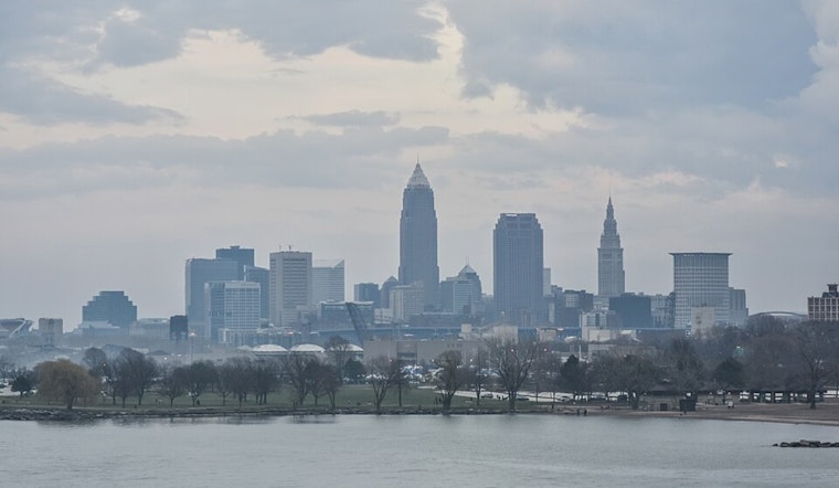
As a cold front makes its unwelcome descent through Northeast Ohio, residents are bracing for a mix of weather conditions that are sure to impact weekend plans. According to the National Weather Service Cleveland OH, we're in for scattered showers and thunderstorms today through Sunday as the front stalls over the Upper Ohio Valley. The anticipated high today in the mid-80s is a precursor to the unsettled weather ahead, with Lake Erie boaters facing north-northeast winds up to 15 knots.
Friday could bring more intense weather behaviors. "The main concern for the near term period will be scattered showers and thunderstorms developing along a stalled frontal boundary across the Upper Ohio Valley on Friday," the NWS Cleveland predicts. Although there are concerns about heavy rain with these storms, flooding is not expected to pose a significant threat this time around. During the weekend, this stationary boundary is slated to encourage consistent, albeit less intense, precipitation patterns.
Travelers should keep tabs on weather updates as scattered showers may affect those flying out of Cleveland. The NWS discussion reveals that although conditions are currently favorable for flying, with visibility remaining primarily VFR, this could change by Friday. Showers and thunderstorms becoming more frequent could cause visibility issues, not to mention delays.
On the lakefront, mariners are advised to stay alert as a frontal boundary parked itself along the southern Lake Erie shoreline today, turning winds north-northeast. Despite no immediate marine advisories, conditions on the water will warrant a watchful eye through early next week when winds are expected to shift, paving the way for warmer days ahead. "This boundary will continue to sag south Friday and become nearly stationary across the Ohio River Valley through the weekend," reported NWS Cleveland, ensuring that sailors will navigate a comparatively tame marine environment for the time being.
By Monday, we should see a return to more seasonably warm and potentially drier conditions as temperatures climb back up into the 80s. Until then, Ohioans are advised to keep their umbrellas at the ready and eye on the skies, as the weather proves once again that it waits for no one's plans.


.jpg)