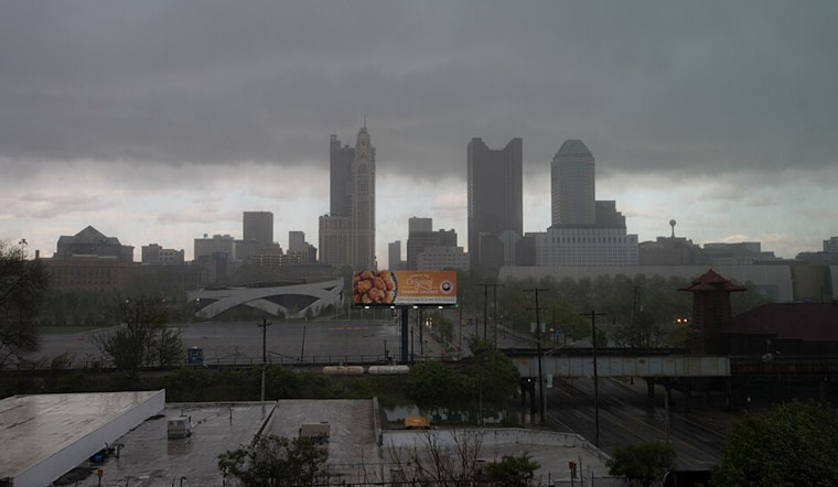
Residents in the Columbus and Cincinnati regions are bracing for a wet weekend as the National Weather Service in Wilmington anticipates recurring showers and storms through Sunday. According to an area forecast discussion, a slow-moving front will stall across the region, leading to periods of showers and storms during this period. Warm and humid conditions are expected to continue, with some drier air predicted to follow by Tuesday.
The near-term forecast warns of isolated to scattered showers and thunderstorms, particularly in northern and eastern locales. The main concern lies with the potential for locally heavy rainfall and isolated flooding, made possible by precipitation rates that could exceed 2 inches per hour in the heaviest downpours. However, such incidents are expected to stay "spotty/ISO in nature," based on the forecast details published on June 6th, 2025, by the National Weather Service. The forecast also mentions a "lull" in storm activity by mid-afternoon, only for another wave of showers and thunderstorms to possibly impact the southern parts of the region by evening.
As for the weekend, most of Saturday is anticipated to be dry, but with another band of showers and thunderstorms expected to approach from the west late in the day. Given a slight front shift to the south tonight, overnight temperatures will be mild, in the lower to mid 60s, while Saturday temperatures could rebound to around 80 degrees amidst a mix of clouds and sunshine.
The front that had dipped south will return northward on Saturday night, leading to continued chances of showers and thunderstorms on Sunday. In the long-term forecast section, the focus again shifts to the threat of locally heavy rainfall, especially in parts of west-central to central Ohio. Later in the week, a more organized weather system is expected to arrive, providing further rainfall chances on Monday and Tuesday, before drying out midweek.
In terms of aviation, travelers can expect several clusters of rain showers and thunderstorms to affect flights, with MVFR/IFR ceilings through early Saturday. There's also a chance that storms may continue into early Sunday. The National Weather Service cautions against possible disruptions due to MVFR ceilings again on Sunday and Monday, potentially affecting flight schedules in the region.


