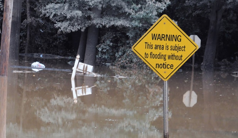
The National Weather Service in Raleigh has issued a weather outlook for central North Carolina, alerting residents to the possibility of hazardous weather conditions starting late tonight and extending into the next week. The Hazardous Weather Outlook warns of a "marginal risk of excessive rainfall," particularly south and east of the Triangle area, where high rain rates may lead to minor flooding in urban zones and regions with poor drainage.
As today unfolds, the skies above Raleigh will remain mostly sunny with temperatures climbing to a warm 87 degrees, a calm wind shifting southeast in the morning. However, the serenity is expected to break, later on, rain is likely after 2 a.m., boasting a 60% probability. The expected precipitation amount ranges from a tenth to a quarter of an inch. According to the latest update from the NWS, the imminent inclement weather is due to continue with Thursday bracing for rain and a possible thunderstorm, maintaining a 70% chance of precipitation with new rainfall amassing to an inch.
Going into the weekend, the weather pattern remains unstable with chances of showers and thunderstorms peaking in the afternoon and evening hours. Saturday's forecast anticipates a high near 90 degrees and a 60% likelihood of precipitation, including probable thunderstorms. Such conditions are set to prevail until early next week, creating intermittent disruptions and the potential for severe weather events. "An unsettled weather pattern is expected Saturday through early next week within a moist and unstable airmass," the Hazardous Weather Outlook warns, suggesting that some storms might turn severe and result in heavy downpours.
The extended outlook published by the Hazardous Weather Outlook cautions that from Thursday through Tuesday, central North Carolina could experience varying degrees of hazardous weather. "The marginal risk of excessive rainfall will extend through Thursday across all of central North Carolina, with the highest chances from the Triangle to the south and east," their statement reads. Besides causing localized flooding, storm total rainfall could reach 1 to 2 inches in some parts, with higher amounts possible in specific locales. Weather spotters in the region have been encouraged, to report any significant conditions, based on standard operating procedures.


