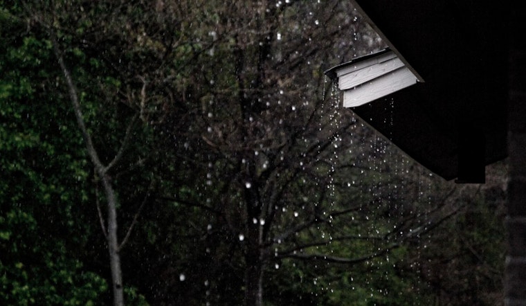
The National Weather Service in Raleigh, North Carolina, has issued a Hazardous Weather Outlook detailing a stretch of tumultuous weather through central North Carolina. Looking at the forecast for today, the NWS predicts "showers and possibly a thunderstorm" with an 80% chance of precipitation and rainfall amounts teetering between half an inch to three quarters.
For those planning to venture out later tonight, anticipate a 40% chance of showers and thunderstorms mainly before 11 pm, with the barometer indicating a continued trend of instability in the atmosphere. While the wind, out of the east at 5 to 7 mph, will turn light and variable post-midnight, it's the storm's erratic behavior, seemingly torn between retreat and uproar, that signals the unpredictability of nature's whims.
Heading into the weekend, the forecast does not offer much reprieve from the wet conditions. By Saturday, the chance of precipitation during the day is 50%, with potential new rainfall amounts being less than a tenth of an inch, save for the higher amounts that could accompany thunderstorms. The temperature is set to hover near 90 degrees, offering a sweltering backdrop to the anticipated downpours, according to the NWS.
With heavy rain expected to accumulate 1-2 inches across the region, and isolated areas possibly seeing a massive 3-5 inches, the risk of flash flooding is tangible, especially in areas where the storm drains struggle with even a minor deluge. This intense precipitation, combined with a possibly short-lived tornado, is slated to touch down, mainly across southeastern bits of the state, exacerbating the stress on residents and infrastructure already bracing for wetter days ahead.
Spreading into the new week, the Hazardous Weather Outlook by the NWS advises that "an unsettled weather pattern is expected Saturday through early next week within a moist and unstable airmass." Residents and weather enthusiasts are encouraged to keep an eye out for these scattered showers and storms, as some may escalate into severe weather events, complete with heavy rainfall.
Given the potential for severe weather, the Hazardous Weather Outlook calls on weather spotters to "report significant weather conditions according to Standard Operating Procedures," highlighting the collaborative effort between the public and meteorologists to maintain safety and awareness during such hazardous conditions.


