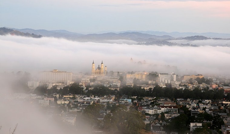
The familiar pattern of overcast mornings and breezy afternoons persists in San Francisco. Keeping things on the cooler side along the coast, with temps ranging from the upper 50s to the 60s, while more inland areas can expect warmth reaching into the 80s and even the 90s for those far from the shore. The break in cloud cover over the last few nights means inland areas will continue to see a slight warming trend today, as reported by the National Weather Service.
However, despite reductions in cloud formations, pockets of fog and coastal drizzle remain possible, especially along the San Mateo Coast and around Monterey-Carmel-Pacific Grove, according to the NWS. Currently at around 2000ft, the marine layer ushers in moisture but with less concentration, making it harder for cloud cover to form overland. Breezy conditions will follow as usual in the afternoon, particularly when cloudy and clear skies meet.
The weather pattern looks largely uneventful as we head into the long term. The NWS's outlook for the coming days promises more of the same: "Cloudy on the coast, breezy and some clearing for the afternoons, warm days for the cloudless, cool days for the cloudy." Microclimates will continue to play their role, making short drives a decision between turning on the car's heater or air conditioning. The week ahead could see a potential change with a trough pattern that might bring cooler temperatures, but any dramatic shifts are not on the horizon.
The maritime community should brace for strong northwesterly breezes and rough seas through the weekend. Gale-force gusts are expected, especially near coastal jet regions like Point Reyes and Point Sur. The NWS advisory points out that "fresh to strong northwesterly breezes, near gale force gusts, and moderate to rough seas will prevail through Monday."
Fire weather concerns are looming for areas where the marine layer doesn't reach. Those locations, which include higher elevations in the Santa Lucias and the Gabilan range, are experiencing "poor humidity retentions and recoveries," the National Weather Service warns. The lack of moisture and persistent winds that are gusting between 20 and 40 mph heighten the risk of fires.


