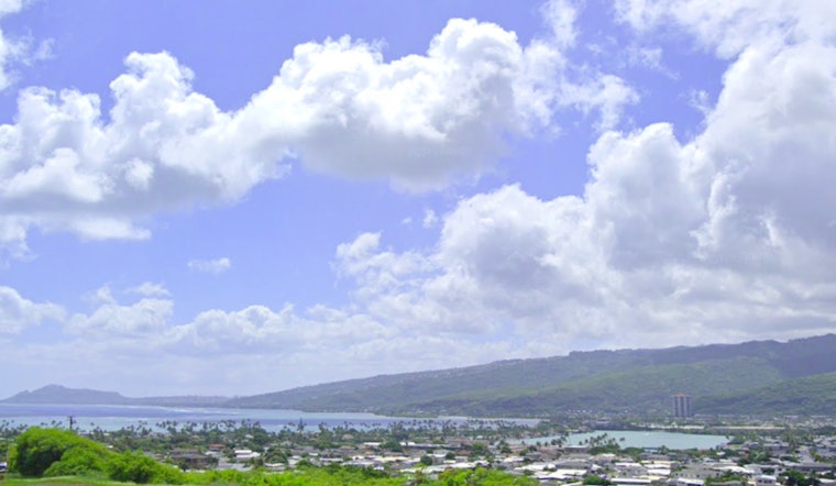
Trade winds are expected to keep the Honolulu area breezy for the next few days, with an increase in shower activity today before conditions begin to dry out, according to the latest update from the National Weather Service (NWS) - Honolulu. The "high pressure continues well northeast of the islands," maintaining these conditions. However, the forecast suggests that we should see a downward trend in wet weather towards the end of the week, while "light, embedded showers will persist predominately across windward and mauka areas."
Locals on the windward side and in mountain areas can expect passing clouds and occasional showers in the coming days. Leeward areas might see a few stray showers too. A weak upper-level trough near Kauai is causing some unstable weather, bringing moderate rain at times. As the trough moves away, drier weather is likely with high pressure building to the east.
For aviation, pilots can expect breezy trade winds to continue for the next few days, easing slightly after tonight. Some showers may reduce visibility, especially in windward and mountain areas. At sea, moderate to strong trade winds will persist. A Small Craft Advisory is in effect until 6 PM HST for parts of Maui County and the Big Island due to these conditions.
Surfing conditions show a 3 to 4 foot south swell bringing above-average waves to south-facing shores, expected to ease by Thursday. East shores remain choppy due to steady trade winds. Minor coastal flooding is likely through Thursday, caused by high tides and the south swell. For updates, check the NWS Honolulu website before heading out.


