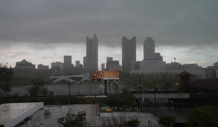
The National Weather Service has indicated an increased likelihood of showers and thunderstorms set to affect areas including Columbus, Cincinnati, Wilmington, and beyond, going into the weekend. The advancing upper-level low, along with an associated frontal boundary, is expected to become nearly stationary across the upper Ohio Valley, as per the Area Forecast Discussion released by the National Weather Service. This setup might trigger several rounds of showers and storms, potentially impeding weekend plans with wet and possibly loud interruptions.
In the immediate term, designated as 'until 6 PM this evening' in the NWS report, the surface boundary is presently north of a line from Richmond to Dayton to Columbus, showers have for now been limited to Hardin county most echoes on KILN radar are merely mid clouds, still, the expectation for precipitation at ground level is predicted to hold off until late morning in the west, and there's a slight chance across the north where a surface boundary lingers. By the afternoon, conditions are expected to mature with precipitable water values increasing sharply, with some localized heavier rain not ruled out, particularly in the Tri-state area where scattered flood issues could emerge, despite daytime highs being tempered into the low to mid 80s due to the thickening cloud cover.
Although Friday evening may see a decrease in shower and storm coverage due to the loss of diurnal heating and no significant low-level jet stream expected, the NWS discusses that showers and storms will likely persist into the night, especially close to the stalled surface boundary near areas north of Interstate 71. A muggy night is in the forecast with lows in the upper 60s, followed by more chances of showers and thunderstorms on Saturday where persistent rain could lead to localized flooding, though clear severe weather drivers like robust instability and shear are not anticipated, which could be a slight silver lining for residents preparing for a soggy weekend.
Looking towards the latter part of the weekend and into next week, the long-term forecast sees the weather pattern becoming increasingly progressive, which translates to a gradual uptick in temperature and humidity. By Wednesday, expect highs in the mid to upper 80s and dewpoints venturing into the lower 70s. These conditions are conducive to shower and storm formation, particularly if any shortwaves or other broad atmospheric forcing come into play, the risks for severe weather seem greater but pinpoint specifics on timing and location are still too uncertain to determine—however, chances for heavy rain may present themselves under any heavier, slower-moving thunderstorms.
In terms of aviation impacts, the NWS forecast conveys that VFR conditions are expected to hold through at least 18z on Friday, but as the upper trough moves in, pilots and passengers should brace for potential MVFR ceilings and visibility due to showers, particularly after 15z. The NWS warns of the most significant impact at airports KCVG, KLUK, and KILN through about 02z, following which the precipitation focus shifts closer to the stationary boundary, possibly leading to MVFR or even IFR conditions at KDAY, KCMH, and KLCK after 04-06z, continuing into late Friday night and Saturday.


