Baltimore and its surrounding areas are poised to experience predominantly fair weather as we head into the holiday weekend, according to the National Weather Service Baltimore MD/Washington DC. A weak cold front is expected to sweep through tonight, with negligible impact on the idyllic seasonal warmth. By the Fourth of July, residents can anticipate clear skies and low humidity levels – ideal for any Independence Day celebrations. This forecast is based on the National Weather Service's Area Forecast Discussion, which provides an outlook promising mostly sunny skies, with only a slim chance of showers tonight.
The weekend's temperatures are projected to hover comfortingly in the mid-upper 80s, with a slight dip in humidity to make even the sunniest afternoons more bearable. People planning to host or attend outdoor events can look forward to a comfortable setting under mostly sunny skies. However, a shortwave trough is forecasted to potentially shake things up late this afternoon into this evening, with the National Weather Service hinting at a slight possibility for a few storms to drift into areas of northern Maryland and the West Virginia Panhandle. These conditions firmly place northeast and north-central Maryland within a Marginal Risk for severe thunderstorms. Despite this, the probability of such disturbances disrupting the prevalent tranquility remains low.
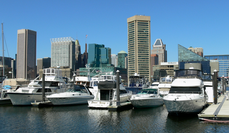
As high pressure builds in the wake of Friday's upper trough movement off the New England coast, the subsequent days are largely dictated by VFR (Visual Flight Rules) conditions, as indicated within National Weather Service data. Mariners can equally rejoice, as winds are expected to remain below Small Craft Advisory levels through Saturday, maintaining favorable conditions on the water. Airport operations should run smoothly, with no significant obstructions anticipated, barring the remote chance of fog or a stray shower across terminals through the weekend.
Looking ahead into the start of the next week, temperatures are predicted to slowly climb, reaching around 90 degrees by Sunday and Monday. While the warmth continues to swell uselessly into the atmosphere, forecasts suggest that thunderstorm chances will creep into the equation by Monday, which could introduce temporary restrictions to an otherwise unobstructed aviation schedule. As these chances increase Tuesday through Thursday, attached to a slow-moving trough across the Midwest, residents should stay tuned for further advisories regarding potential showers and their impacts. For now, the skies are clear, and spirits should be high, with the upcoming holiday weekend offering a perfect backdrop for celebrations.


