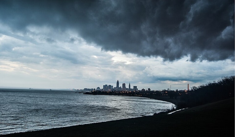
The weather has taken us on quite the ride this week, and it seems to be settling down a bit. According to the National Weather Service in Cleveland, we're in for a mix of high pressure and trough movements over the next few days. Today, we've got a trough moving through, leading to a cool down in shower and storm activity in the morning, only to be followed by another trough on Thursday. High pressure is expected to sneak back in on Wednesday, and then again on Friday, allowing for a bit of weather respite. This data comes straight from the horse's mouth over at NWS Cleveland's latest forecast discussion.
For those of us needing better to plan our week around this meteorological juggling act, the near term forecast indicates that while we'll see a downtrend in convection initially, there's "some uncertainty on how far north any rain or thunder will get," but only a "sliver of likely PoPs for the southern forecast area," NWS Cleveland reports. Clearer skies are expected to follow behind this round of convection, but if the area can stay dry just a little longer during the late morning, the chances for rain coverage could purportedly be a little higher. With the official start of the summer season in full swing, normal temperature ranges are predicted to continue.
The short-term outlook leading up to Independence Day is looking largely uneventful, bar the vague possibility of some showers and maybe even a storm with a weak surface trough coming in on Thursday. But don't get your hopes up for a dramatic weather display, as "the better synoptic support for convection should be north of the border," according to NWS Cleveland. Temps are expected to hover around normal, without enough instability to warrant widespread, diurnally-driven convection. As for the Fourth, high pressure is slated to take over, suggesting dry conditions for the holiday. The weekend temperatures may crank up into the 90s, so it's best to keep an eye out for those SPF 50 reapplications if hitting the beach or park is in your plan.
For aviators, the skies are expected to be fairly clear today with high pressure creating calmer conditions over the affected airports, according to NWS Cleveland. There's talk of some light and variable winds picking up from the west-northwest by late morning, but things should settle after sunset. It's a different story on the water, with high pressure predicted to bring 5-10 knot winds from the west-northwest on Lake Erie today, shifting to a northerly direction overnight. Boating conditions are expected to remain serene, with wave heights at 2 feet or less. Essentially, it's all clear for mariners with no current need for marine headlines.
Looking beyond the long term, NWS Cleveland warns that we're in for a 'return to hot with storm chances' as we tip-toe into the weekend. With temperatures predicted to climb above 90 degrees and dew points soaring over 70 degrees, heat risk concerns could become a factor. It's a reminder that, as refreshing as these in-and-out highs may be, the persistent hand of summer heat is never far away. Overall, while it's best to keep an umbrella handy for Thursday's tease of showers, the lead-up to July Fourth seems like smooth sailing, weather-wise.


.jpg)