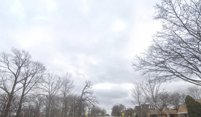
The National Weather Service in Milwaukee is forecasting a mix of sun and clouds with a high near 74 degrees today, according to their latest update. An east wind of 5 to 10 mph is expected to accompany the mostly sunny conditions. However, heading into the night, there's a looming 30 percent chance of showers and thunderstorms, potentially kicking in after 5 a.m. and bringing in cloud cover with a low around 66 degrees. The southeastern wind may shift southwest after midnight, retaining a mild 5 mph pace.
Continuing into Saturday, the narrative shifts as chances of showers and thunderstorms become more certain, particularly between 7 a.m. and 10 a.m., with a possibility of heavy rainfall. "Some of the storms could produce heavy rainfall," warns the NWS report. The high for the day is projected to be near 83 degrees with intermittent periods of thunderstorms after 10 a.m. carrying through to Sunday, which will see partly sunny skies and a calmer high of around 75 degrees.
In their Hazardous Weather Outlook, the NWS cautions that the area of thunderstorms rolling in late tonight could bring damaging winds and hail. These conditions are part of an unsettled weather pattern that's set to affect east central, south central, and southeast Wisconsin. With a 60 percent chance of precipitation on Saturday and lower chances but still present through the next week, residents should stay alert to changing weather conditions.
The outlook extends through Thursday, with the NWS advising that "Spotter activation may be needed late tonight through Saturday." Residents in counties such as Marquette, Green Lake, Fond du Lac, and Sheboygan should particularly take note, as these areas are highlighted within the scope of this weather advisory.


