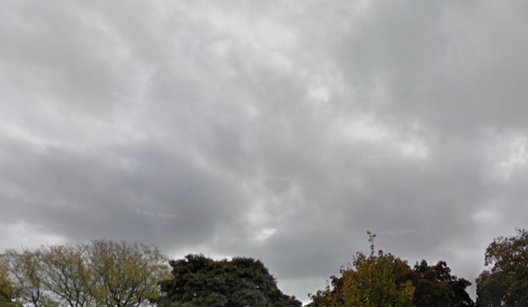
The National Weather Service in Milwaukee is forecasting a stormy scenario starting this Wednesday afternoon through evening, with the potential for "strong to severe thunderstorms with strong to damaging winds and heavy rainfall," conditions likely to be more intense north of I-94. According to the NWS detailed forecast, the Milwaukee area could see storms that may result in localized flooding in low-lying and urban areas, so residents should stay vigilant. The chance of precipitation today hits 60%, with new rainfall amounts ranging from a tenth to a quarter of an inch, though locally higher amounts are possible in thunderstorms.
Tonight's outlook isn't much drier, the figures suggest showers and thunderstorms before 1 a.m. followed by a possible continuation of showers, the chance of precipitation is 80%, with possible new rainfall amounts between a quarter and half an inch, and a south wind that will turn northwest come evening hours, showers likely and possibly a thunderstorm after then before 5 p.m. it was partly sunny. With all this in mind, the Hazardous Weather Outlook from the National Weather Service warns of "Strong to severe thunderstorms with strong to damaging winds and heavy rainfall expected this afternoon and evening." Moreover, with a low pressure poised around 62 degrees, the night might also get notably cooler.
However, the weather is set to shift tomorrow, with a meager 10 percent chance of showers before 7 a.m., before the clouds plan to clear, paving the way for mostly sunny skies with a high near 70, and a northeast wind blowing 10 to 15 mph, as per NWS. In the evening the skies will remain mostly clear, and the temperatures will drop to the low 60s. And while Friday itself brings sunshine and a high around 74, early risers on Friday might brace for showers and potential thunderstorms after 1 a.m., despite a 20 percent chance, as per the forecast rolling in from the east that evening.
Looking further ahead, the pattern of precipitation persists throughout the weekend into early next week, but the odds are somewhat less formidable—40 percent on Saturday for showers, potential thunderstorms after 1 p.m., and a high near 80, then dropping to a 20 percent chance through Sunday night; the start of the week follows suit with partly sunny days, highs in the comfortable upper 70s and low 80s, and scattered chances of rain that does not exceed 30 percent, yet weather conditions remain somewhat unpredictable, so an umbrella wouldn't go amiss if you're planning to be out and about.
For those looking to hit the beaches, tread cautiously—elevated swim risk conditions are expected tomorrow, particularly for regions south of Port Washington to the Wisconsin-Illinois border, the hazardous outlook document points to winds and waves that could prove dangerous for swimmers. Lastly, "spotter activation may be needed this afternoon and evening," as per the Hazardous Weather Outlook, so community members should stay alert and be ready to report severe weather conditions as they unfold.


